IMAGES TAKEN NEAR TO
Wood View, ATHERSTONE, CV9 2FG
Introduction
This page details the photographs taken nearby to Wood View, CV9 2FG by members of the Geograph project.
The Geograph project started in 2005 with the aim of publishing, organising and preserving representative images for every square kilometre of Great Britain, Ireland and the Isle of Man.

There are currently over 7.5m images from over14,400 individuals and you can help contribute to the project by visiting https://www.geograph.org.uk
Image Map
Images are licensed for reuse under creativecommons.org/licenses/by-sa/2.0
Notes
- Clicking on the map will re-center to the selected point.
- The higher the marker number, the further away the image location is from the centre of the postcode.
Image Listing (6 Images Found)
Images are licensed for reuse under creativecommons.org/licenses/by-sa/2.0
Image
Details
Distance
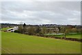
1
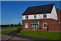
Newly built house on the edge of Grendon
Image: © David Martin
Taken: 17 Jul 2016
0.06 miles
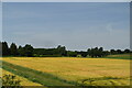
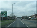
4
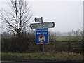
Junction of Dordon Hall Lane
The road to the left passes under a railway bridge.
Image: © Angella Streluk
Taken: 19 Feb 2006
0.21 miles