
IMAGES TAKEN NEAR TO
The Fosse, COVENTRY, CV8 3GA
Introduction
This page details the photographs taken nearby to The Fosse, CV8 3GA by members of the Geograph project.
The Geograph project started in 2005 with the aim of publishing, organising and preserving representative images for every square kilometre of Great Britain, Ireland and the Isle of Man.

There are currently over 7.5m images from over14,400 individuals and you can help contribute to the project by visiting https://www.geograph.org.uk
Image Map
Images are licensed for reuse under creativecommons.org/licenses/by-sa/2.0
Notes
- Clicking on the map will re-center to the selected point.
- The higher the marker number, the further away the image location is from the centre of the postcode.
Image Listing (7 Images Found)
Images are licensed for reuse under creativecommons.org/licenses/by-sa/2.0
Image
Details
Distance
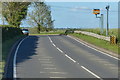
2
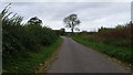
The approach to the Fosse Way
Coalpit Lane near to its junction with the Fosse Way.
Image: © Peter Mackenzie
Taken: 21 Oct 2017
0.13 miles
3

Coalpit Lane, Marston
The two signs appeared in the last year.
Image: © David Howard
Taken: 12 Jul 2026
0.14 miles
4
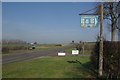
Fosse Way near Wolston
A dilapidated sign to a bed and breakfast establishment stands at the crossroads where the Fosse Way meets Coalpit Lane.
Image: © Stephen McKay
Taken: 1 Mar 2012
0.14 miles
6
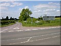
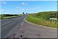
Wolston-Coalpit Lane
The crossroads of the Fosse Way and Coalpit Lane.
Image: © Ian Rob
Taken: 20 May 2008
0.16 miles
7
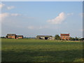
New Farm
This farm and barn conversion are situated in the middle of this square consisting mostly of farmland. They are seen looking NNE from the lane in the south of the square.
Image: © David Stowell
Taken: 16 Aug 2005
0.21 miles