
IMAGES TAKEN NEAR TO
Fen End Road, KENILWORTH, CV8 1NS
Introduction
This page details the photographs taken nearby to Fen End Road, CV8 1NS by members of the Geograph project.
The Geograph project started in 2005 with the aim of publishing, organising and preserving representative images for every square kilometre of Great Britain, Ireland and the Isle of Man.

There are currently over 7.5m images from over14,400 individuals and you can help contribute to the project by visiting https://www.geograph.org.uk
Image Map
Images are licensed for reuse under creativecommons.org/licenses/by-sa/2.0
Notes
- Clicking on the map will re-center to the selected point.
- The higher the marker number, the further away the image location is from the centre of the postcode.
Image Listing (10 Images Found)
Images are licensed for reuse under creativecommons.org/licenses/by-sa/2.0
Image
Details
Distance
1
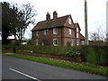
Fen End Lodge, Sedgemere
Built in 1699 according to a stone set into the wall above the front door, so very late 17th century, and Grade II listed https://britishlistedbuildings.co.uk/101075985-fen-and-lodge-balsall#.XDWoDFz7RPY in 1952.
Image: © Richard Law
Taken: 7 Jan 2019
0.03 miles
2
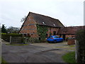
Fen End Lodge farm - South Barn
One of two Grade II listed barns at Fen End Lodge; this one is older than the North Barn, and is thought to date to the late 17th or early 18th century. It was listed https://britishlistedbuildings.co.uk/101054076-south-barn-at-fen-end-lodge-balsall#.XDWmn1z7RPY in 1952.
Image: © Richard Law
Taken: 7 Jan 2019
0.05 miles
3
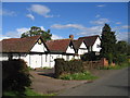
Fen End
Some of the old timber framed cottages that make up the settlement of Fen End.
Image: © David Stowell
Taken: 25 Aug 2005
0.06 miles
4

Paving in prospect, Fen End
There may be some connection with an incongruous pergola in a fenced-off section of the field, perhaps an extension of the garden of Fen End House. The group of dwellings in the background consists of Fen End Barn on the left and The Old Barn on the right. Fen End Lodge, the house beyond them, bears the date AD 1699 over the nail-studded door.
Image: © Robin Stott
Taken: 11 Aug 2010
0.09 miles
5
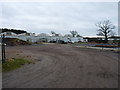
Poly-tunnels for commercial plants
There was no obvious signage around this operation, but they appear to be growing plants on a commercial scale for garden centres and the like.
Image: © Richard Law
Taken: 7 Jan 2019
0.15 miles
6
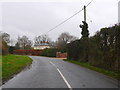
Fen End Lane
This is the view south down Fen End lane, which runs from Meer End to Temple Balsall, with Fen End House showing just to the right of the lane.
Image: © Nigel Mykura
Taken: 20 Nov 2012
0.16 miles
7
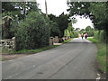
Riding horses, Fen End Road
Ladies on horseback walk and talk, here passing the extensive Fen End House property.
Image: © Robin Stott
Taken: 11 Aug 2010
0.17 miles
9
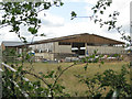
Building work at Fen End House
This can only be an indoor manège or horse-riding and training space.
Image: © Robin Stott
Taken: 11 Aug 2010
0.17 miles
10
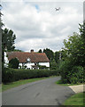
Cottage under the flight path
On this occasion planes were approaching Birmingham Airport in rapid succession; looking north up Longbrook Lane.
Image: © Robin Stott
Taken: 11 Aug 2010
0.24 miles