
IMAGES TAKEN NEAR TO
Shortfield Close, COVENTRY, CV7 7UN
Introduction
This page details the photographs taken nearby to Shortfield Close, CV7 7UN by members of the Geograph project.
The Geograph project started in 2005 with the aim of publishing, organising and preserving representative images for every square kilometre of Great Britain, Ireland and the Isle of Man.

There are currently over 7.5m images from over14,400 individuals and you can help contribute to the project by visiting https://www.geograph.org.uk
Image Map
Images are licensed for reuse under creativecommons.org/licenses/by-sa/2.0
Notes
- Clicking on the map will re-center to the selected point.
- The higher the marker number, the further away the image location is from the centre of the postcode.
Image Listing (15 Images Found)
Images are licensed for reuse under creativecommons.org/licenses/by-sa/2.0
Image
Details
Distance
1
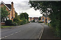
Houses on Dengate Drive, The Grange estate, Balsall Common
An upmarket estate by Gallagher Homes with winding roads and lots of open space.
Image: © Robin Stott
Taken: 12 Sep 2018
0.07 miles
2
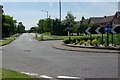
Kenilworth Road through Balsall Common
Image: © Keith Williams
Taken: 9 Jun 2008
0.17 miles
3
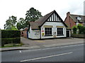
Balsall Common Village Hall
Located on Station Road.
Image: © Richard Law
Taken: 22 Aug 2017
0.18 miles
4
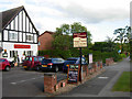
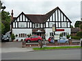
Haigs Hotel, Balsall Common
Independent family-run hotel on Kenilworth Road.
Image: © Stephen McKay
Taken: 13 Jun 2011
0.18 miles
6
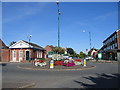
Balsall Common
The island in the centre of the town at the crossing of the main A452 and station road, with the shopping centre just beyond.
Image: © David Stowell
Taken: 21 Aug 2005
0.19 miles
7
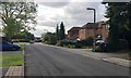
West on Needlers End Lane, Balsall Common
The lane is shown on a map of 1887-8. Balsall Common is a commuter village that grew up between the wars, around roads rather than the railway station, Berkswell. Needlers End was a dispersed hamlet that has coalesced into a suburban estate. The lane soon joins the twisting B4101 Trans-Arden Highway at Balsall Street.
Image: © Robin Stott
Taken: 12 Sep 2018
0.21 miles
8
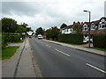
Station Road approaching Kenilworth Road
Nearing what is effectively the centre of Balsall Common.
Image: © Richard Law
Taken: 22 Aug 2017
0.21 miles
9
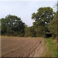
Field path, Balsall Common
There is a good network of public footpaths in the fields around this suburban settlement.
Image: © A J Paxton
Taken: 10 Oct 2023
0.22 miles
10
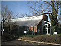
Balsall Common Public Library
Seen from the free car park at the back.
Image: © Robin Stott
Taken: 21 Jan 2011
0.22 miles