IMAGES TAKEN NEAR TO
Winsford Close, COVENTRY, CV7 7UB
Introduction
This page details the photographs taken nearby to Winsford Close, CV7 7UB by members of the Geograph project.
The Geograph project started in 2005 with the aim of publishing, organising and preserving representative images for every square kilometre of Great Britain, Ireland and the Isle of Man.

There are currently over 7.5m images from over14,400 individuals and you can help contribute to the project by visiting https://www.geograph.org.uk
Image Map
Images are licensed for reuse under creativecommons.org/licenses/by-sa/2.0
Notes
- Clicking on the map will re-center to the selected point.
- The higher the marker number, the further away the image location is from the centre of the postcode.
Image Listing (18 Images Found)
Images are licensed for reuse under creativecommons.org/licenses/by-sa/2.0
Image
Details
Distance
1
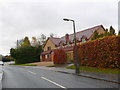
House on Needlers End Lane
This large detached house is right on the southern edge of the grid square with the grid line passing through the house. The road and the front of the property is in SP2377 and the rear of the property in SP2376
Image: © Nigel Mykura
Taken: 20 Nov 2012
0.07 miles
2
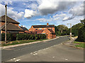
Ivy House Farm, Needlers End Lane, Balsall Common
An older building that catches the eye among twentieth-century ribbon development. It is shown on the OS map of 1887-88, farm buildings among fields.
Image: © Robin Stott
Taken: 12 Sep 2018
0.07 miles
3
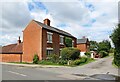
Balsall Common-Ivy House Farm
On Needlers End Lane.
Image: © Ian Rob
Taken: 10 Aug 2021
0.07 miles
4
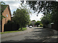
Shenstone Drive
A leafy cul-de-sac off the south end of Shenstone Drive.
Image: © Robin Stott
Taken: 11 Aug 2010
0.13 miles
5
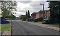
West on Needlers End Lane, Balsall Common
The lane is shown on a map of 1887-8. Balsall Common is a commuter village that grew up between the wars, around roads rather than the railway station, Berkswell. Needlers End was a dispersed hamlet that has coalesced into a suburban estate. The lane soon joins the twisting B4101 Trans-Arden Highway at Balsall Street.
Image: © Robin Stott
Taken: 12 Sep 2018
0.14 miles
6
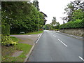
Station Road in Balsall Common
Seen here at the junction with Burberry Grove, a small cul-de-sac of houses.
Image: © Richard Law
Taken: 22 Aug 2017
0.15 miles
7
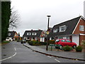
Needlers End Lane
Only a very tiny part of Balsall Common and Needlers End Lane extend into Image and these houses occupy the extreme south east corner of the square.
Image: © Nigel Mykura
Taken: 20 Nov 2012
0.15 miles
8
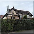
Shenstone Grange, Balsall Street
This historic Balsall Common house undergoing repairs is Grade II listed; it dates from the 17th century, with additions from the 19th and early 20th centuries. The old house stood at right angles to the road; its gable end can be seen to the left, with the Edwardian (early C20) range to the right. When listed in 2006, the house was rendered with roughcast, but the internal timber-framing was well-preserved. At least some of the roughcast appears to have been removed, and it looks as though new timbers have been applied to the front, probably replicating the internal structure. See the listing at the Historic England site https://historicengland.org.uk/listing/the-list/list-entry/1391724?section=official-list-entry . Balsall Common is a mainly 20th century suburban settlement, but is dotted with older buildings from its rural Berkswell past. See also Image
Image: © A J Paxton
Taken: 10 Oct 2023
0.17 miles
9
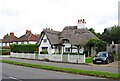
Balsall Common-Hobbe Cottage
On Balsall Street.
Image: © Ian Rob
Taken: 10 Aug 2021
0.19 miles