
IMAGES TAKEN NEAR TO
Barley Way, SOUTHAM, CV47 9AD
Introduction
This page details the photographs taken nearby to Barley Way, CV47 9AD by members of the Geograph project.
The Geograph project started in 2005 with the aim of publishing, organising and preserving representative images for every square kilometre of Great Britain, Ireland and the Isle of Man.

There are currently over 7.5m images from over14,400 individuals and you can help contribute to the project by visiting https://www.geograph.org.uk
Image Map
Images are licensed for reuse under creativecommons.org/licenses/by-sa/2.0
Notes
- Clicking on the map will re-center to the selected point.
- The higher the marker number, the further away the image location is from the centre of the postcode.
Image Listing (112 Images Found)
Images are licensed for reuse under creativecommons.org/licenses/by-sa/2.0
Image
Details
Distance
2
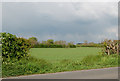
Gap in hedge, near Long Itchington
No gate into the field - just this gap in the hedge near Long Itchington primary school.
Image: © Andy F
Taken: 29 Apr 2009
0.04 miles
3
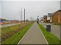
Long Itchington, pavement
Heading towards the village centre, on Stockton Road; new housing developments on both sides of the road - Keeper's Meadow, left, and Spinney Fields, right.
Image: © Mike Faherty
Taken: 16 Nov 2018
0.04 miles
4
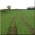
Tractor ruts in crop, Long Itchington
Looking west towards Long Itchington, beside the lane from Stockton.
Image: © Andy F
Taken: 29 Apr 2009
0.04 miles

7
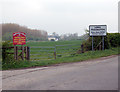
Approaching Long Itchington
Signs on the approach to Long Itchington from Stockton. The red sign [http://www.geograph.org.uk/photo/1257458] on the left is at the top of a track to the canal [http://www.geograph.org.uk/photo/1251296]. The cream-painted building in the distance between the signs is The Cuttle Inn [http://www.geograph.org.uk/photo/603182] and the building with white chimneys immediately to the right is a canalside cottage [http://www.geograph.org.uk/photo/603166] .
Image: © Andy F
Taken: 17 Apr 2009
0.06 miles
8
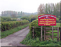
Boatyard sign
Looking south down the entrance track to Warwickshire Fly Boat Co's premises on the Grand Union Canal.
Image: © Andy F
Taken: 17 Apr 2009
0.07 miles
9
Hedgerow near Long Itchington school
Looking north, Long Itchington primary school lies behind the hedge on the left.
Image: © Andy F
Taken: 29 Apr 2009
0.07 miles
10
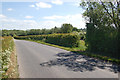
Stockton Road, Long Itchington
Looking east along Stockton Road, Long Itchington, towards Stockton.
Image: © Andy F
Taken: 12 May 2009
0.07 miles