
IMAGES TAKEN NEAR TO
Poplar Close, SOUTHAM, CV47 2SG
Introduction
This page details the photographs taken nearby to Poplar Close, CV47 2SG by members of the Geograph project.
The Geograph project started in 2005 with the aim of publishing, organising and preserving representative images for every square kilometre of Great Britain, Ireland and the Isle of Man.

There are currently over 7.5m images from over14,400 individuals and you can help contribute to the project by visiting https://www.geograph.org.uk
Image Map
Images are licensed for reuse under creativecommons.org/licenses/by-sa/2.0
Notes
- Clicking on the map will re-center to the selected point.
- The higher the marker number, the further away the image location is from the centre of the postcode.
Image Listing (19 Images Found)
Images are licensed for reuse under creativecommons.org/licenses/by-sa/2.0
Image
Details
Distance
1
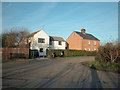
Knightcote
Houses at the edge of the hamlet.
Image: © Dennis Turner
Taken: 17 Dec 2005
0.09 miles
2
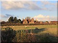
Manor House, Knightcote
Looking NNE from the lane from Northend to Knightcote. http://www.britishlistedbuildings.co.uk/en-307009-knightcote-manor-house-burton-dassett
Image: © David P Howard
Taken: 7 Nov 2010
0.10 miles
3
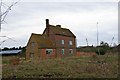
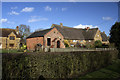
Gently decaying
This farmhouse and its surrounding fields have an air of gentle decay about them although the building may still be occupied.
Image: © Colin Craig
Taken: 4 Dec 2009
0.10 miles
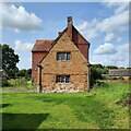
5
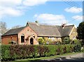
Knightcote-Methodist Chapel and Thatched House
On the main road through the village.
Image: © Ian Rob
Taken: 28 Mar 2019
0.10 miles
8
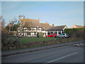
Old Smithy
Now a house in Knightcote village.
Image: © Dennis Turner
Taken: 17 Dec 2005
0.11 miles
9
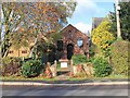
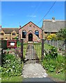
Methodist Church, Knightcote
The Methodist Church opposite Kimble Close in Knightcote.
Image: © David P Howard
Taken: 7 Nov 2010
0.11 miles
10
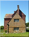
Farmhouse on edge of Knightcote village
Large farmhouse built in 19th century brick and an earlier part in the foreground is local stone.
Image: © Pauline W
Taken: 25 May 2009
0.11 miles