
IMAGES TAKEN NEAR TO
Boyse Lane, WARWICK, CV35 9UN
Introduction
This page details the photographs taken nearby to Boyse Lane, CV35 9UN by members of the Geograph project.
The Geograph project started in 2005 with the aim of publishing, organising and preserving representative images for every square kilometre of Great Britain, Ireland and the Isle of Man.

There are currently over 7.5m images from over14,400 individuals and you can help contribute to the project by visiting https://www.geograph.org.uk
Image Map
Images are licensed for reuse under creativecommons.org/licenses/by-sa/2.0
Notes
- Clicking on the map will re-center to the selected point.
- The higher the marker number, the further away the image location is from the centre of the postcode.
Image Listing (22 Images Found)
Images are licensed for reuse under creativecommons.org/licenses/by-sa/2.0
Image
Details
Distance
1
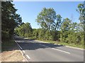
Red Hill
Ettington Road, the A429, begins its climb through Red Hill Wood. This is a summer version of the scene in Image, taken from the junction with the bridleway shown in Image and Image
Image: © Derek Harper
Taken: 11 Jun 2011
0.07 miles
2
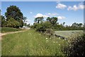
Bridleway approaching A429
The bridleway shown in Image approaches its junction with the main road at the foot of Red Hill. On the right is another glimpse of the wheat field.
Image: © Derek Harper
Taken: 11 Jun 2011
0.08 miles
3
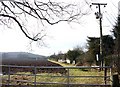
Southeast side of Dovehouse Estate from A429
View along the field that bounds the southeast side of the estate. Taken from the gateway onto the Ettington Road A429.
Image: © David P Howard
Taken: 18 Jan 2010
0.10 miles
4
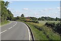
Ettington Road
The A429 curving into the outskirts of Wellesbourne. The building is a pump house.
Image: © Derek Harper
Taken: 11 Jun 2011
0.12 miles
5
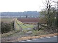
Footpath to Walton from A429 Ettington Road
View SE along the footpath to Walton as it leaves the Ettington Road part way up Red Hill, just short of Red Hill Wood.
Image: © David P Howard
Taken: 18 Jan 2010
0.13 miles
6
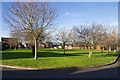
Redhill Close, Dovehouse Estate
Looking across the green space inside the circle of houses that make up Redhill Close.
Image: © David P Howard
Taken: 25 Dec 2013
0.13 miles
7
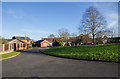
Redhill Close, Dovehouse Estate
Looking across the circle of houses in Redhill Close.
Image: © David P Howard
Taken: 25 Dec 2013
0.14 miles
8
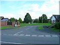
Redhill Close, Dovehouse Estate
Looking SE up Redhill Close from its junction with Dovehouse Drive.
Image: © David P Howard
Taken: 20 Sep 2010
0.16 miles
9
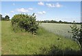
Gap in hedge near Red Hill
An opening in the hedge shown in Image, revealing a wheat field on the other side.
Image: © Derek Harper
Taken: 11 Jun 2011
0.16 miles
10

Red Hill on A429 Ettington Road, Wellesbourne
View South up Red Hill from the start of the footpath to Walton.
Image: © David P Howard
Taken: 18 Jan 2010
0.17 miles