
IMAGES TAKEN NEAR TO
Common Lane, WARWICK, CV35 8HR
Introduction
This page details the photographs taken nearby to Common Lane, CV35 8HR by members of the Geograph project.
The Geograph project started in 2005 with the aim of publishing, organising and preserving representative images for every square kilometre of Great Britain, Ireland and the Isle of Man.

There are currently over 7.5m images from over14,400 individuals and you can help contribute to the project by visiting https://www.geograph.org.uk
Image Map
Images are licensed for reuse under creativecommons.org/licenses/by-sa/2.0
Notes
- Clicking on the map will re-center to the selected point.
- The higher the marker number, the further away the image location is from the centre of the postcode.
Image Listing (18 Images Found)
Images are licensed for reuse under creativecommons.org/licenses/by-sa/2.0
Image
Details
Distance
3
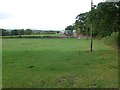
Fields next to Common Lane
These fields are just south of the lane which runs along the southern edge of Yarningale Common, north of Claverdon.
Image: © Nigel Mykura
Taken: 9 Oct 2011
0.10 miles
4
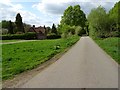
Yarningale Common
Yarningale Lane crossing Yarningale Common.
Image: © Philip Halling
Taken: 29 Apr 2019
0.10 miles
5
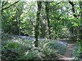
Bluebells in woodland, Yarningale Common
Image: © Robin Stott
Taken: 1 May 2011
0.12 miles
6
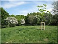
Mill Mound, Yarningale Common
The publicly accessible common is spread over a low hill and level ground to the south. The circular Mill Mound is at the summit and is visible on satellite photos. The 1887 OS map indicates rough grassland and no mill. In the early 20th century it was mostly treeless with some scrub. Photos from the 1940s show scrub woodland developing http://www.search.windowsonwarwickshire.org.uk/engine/resource/default.asp?txtKeywords=yarningale&lstContext=&lstResourceType=&lstExhibitionType=&chkPurchaseVisible=&txtDateFrom=&txtDateTo=&originator=%2Fengine%2Fsearch%2Fdefault%5Fhndlr%2Easp&page=&records=&direction=&pointer=27232&text=0&resource=8005
Image: © Robin Stott
Taken: 1 May 2011
0.13 miles
7
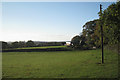
Unmapped barns by Common Lane
Arden stretches away across Yarningale Common to the horizon. Common Lane among trees, right.
Image: © Robin Stott
Taken: 10 Nov 2010
0.14 miles
8
Field beside Common Lane
Field beside Common Lane near Claverdon.
Image: © Philip Halling
Taken: 29 Apr 2019
0.16 miles
9
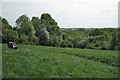
A seat on Mill Mound, Yarningale Common
The people on the bench are enjoying a view across to Preston Bagot SP1765 while the camera sees a skyline of fields and woodland northeast of Austy Wood, perhaps SP1763. The 1887 OS map shows the mound but without a mill.
Image: © Robin Stott
Taken: 1 May 2011
0.17 miles
10
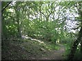
Woodland, north side of Mill Mound
Mill Mound is at the summit of the wooded knoll which is the northern part of Yarningale Common. There are bluebells in places.
Image: © Robin Stott
Taken: 1 May 2011
0.17 miles