IMAGES TAKEN NEAR TO
Ryefields, LEAMINGTON SPA, CV33 9UB
Introduction
This page details the photographs taken nearby to Ryefields, CV33 9UB by members of the Geograph project.
The Geograph project started in 2005 with the aim of publishing, organising and preserving representative images for every square kilometre of Great Britain, Ireland and the Isle of Man.

There are currently over 7.5m images from over14,400 individuals and you can help contribute to the project by visiting https://www.geograph.org.uk
Image Map
Images are licensed for reuse under creativecommons.org/licenses/by-sa/2.0
Notes
- Clicking on the map will re-center to the selected point.
- The higher the marker number, the further away the image location is from the centre of the postcode.
Image Listing (11 Images Found)
Images are licensed for reuse under creativecommons.org/licenses/by-sa/2.0
Image
Details
Distance
1
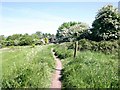
Footpath to Bishop's Tachbrook approaches village
Coming up to the edge of the village on the footpath from Warwick.
Image: © David P Howard
Taken: 22 May 2010
0.07 miles
2
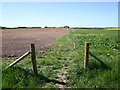
Footpath towards Warwick from Bishop's Tachbrook
Looking NE along the path which traverses arable farmland.
Image: © David P Howard
Taken: 22 May 2010
0.10 miles
3
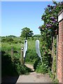
Footpath to Warwick leaves Bishop's Tachbrook
View north where the footpath leaves the housing estate at the end of Farm Way. I imagine that the two galvanised plates are to prevent cyclists from passing through?
Image: © David P Howard
Taken: 22 May 2010
0.13 miles
4
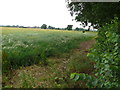
Countryside near Bishops Tachbrook
Most of the fields in this area are arable wheat or rapeseed. These are just to the north west of the village off the A452.
Image: © Nigel Mykura
Taken: 3 Jul 2011
0.16 miles
5
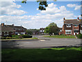
Church Lees, Bishop's Tachbrook
Looking across Argyle Way, down Church Lees to Croft Close and across the fields to Heathcote.
Image: © Robin Stott
Taken: 28 May 2010
0.18 miles
8
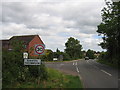
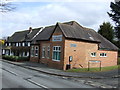
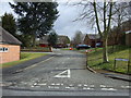
Bishop's Tachbrook
Entering the village on the road from the A452 junction
Image: © David Stowell
Taken: 28 May 2005
0.20 miles
9
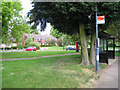
Bus stop, Mallory Road, Bishop's Tachbrook
Across the green is Church Lees. The postbox number is CV33 80.
Image: © Robin Stott
Taken: 28 May 2010
0.20 miles