
IMAGES TAKEN NEAR TO
Aintree Drive, LEAMINGTON SPA, CV32 7TU
Introduction
This page details the photographs taken nearby to Aintree Drive, CV32 7TU by members of the Geograph project.
The Geograph project started in 2005 with the aim of publishing, organising and preserving representative images for every square kilometre of Great Britain, Ireland and the Isle of Man.

There are currently over 7.5m images from over14,400 individuals and you can help contribute to the project by visiting https://www.geograph.org.uk
Image Map
Images are licensed for reuse under creativecommons.org/licenses/by-sa/2.0
Notes
- Clicking on the map will re-center to the selected point.
- The higher the marker number, the further away the image location is from the centre of the postcode.
Image Listing (48 Images Found)
Images are licensed for reuse under creativecommons.org/licenses/by-sa/2.0
Image
Details
Distance
1
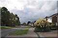
Valley Road, Lillington, Leamington Spa
The park is on the left. The catholic church and the library are beyond the trees.
Image: © Robin Stott
Taken: 22 Oct 2009
0.10 miles
2
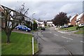
Redcar Close, Lillington, Leamington Spa
A small estate whose roads are named after racecourses.
Image: © Robin Stott
Taken: 22 Oct 2009
0.12 miles
4
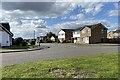
East end of Valley Road, Lillington
The view is across Parklands Avenue.
Image: © Robin Stott
Taken: 16 Sep 2021
0.13 miles
5
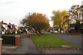
Parklands Avenue, Lillington
The main route to the Manor Farm estate of Corporation-built council houses and high-rise blocks.
Image: © Robin Stott
Taken: 27 Oct 2009
0.13 miles
6
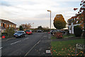
Cheviot Rise, Lillington
This and other culs-de-sac on the north side of Parklands Avenue are on the edge of the few fields remaining between Lillington and Cubbington.
Image: © Robin Stott
Taken: 27 Oct 2009
0.14 miles
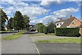
8
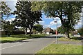
Bus stop, Parklands Avenue, Lillington
For Stagecoach service 67C. Just ahead is Delamere Way and across the road Epping Way: named after forests.
Image: © Robin Stott
Taken: 16 Sep 2021
0.14 miles
9
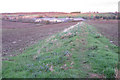
Former field boundary near Glebe Farm
Thwaites works prominent in the view Image
Image: © Robin Stott
Taken: 3 Nov 2009
0.14 miles
10
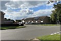
Exmoor Drive, Lillington
Looking across Parklands Avenue.
Image: © Robin Stott
Taken: 16 Sep 2021
0.14 miles