
IMAGES TAKEN NEAR TO
Stoneway Grove, LEAMINGTON SPA, CV31 1RN
Introduction
This page details the photographs taken nearby to Stoneway Grove, CV31 1RN by members of the Geograph project.
The Geograph project started in 2005 with the aim of publishing, organising and preserving representative images for every square kilometre of Great Britain, Ireland and the Isle of Man.

There are currently over 7.5m images from over14,400 individuals and you can help contribute to the project by visiting https://www.geograph.org.uk
Image Map
Images are licensed for reuse under creativecommons.org/licenses/by-sa/2.0
Notes
- Clicking on the map will re-center to the selected point.
- The higher the marker number, the further away the image location is from the centre of the postcode.
Image Listing (51 Images Found)
Images are licensed for reuse under creativecommons.org/licenses/by-sa/2.0
Image
Details
Distance
1
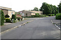
Danesbury Crescent, Sydenham, Leamington Spa
The eastern extremity of the Sydenham estate, here looking towards single-storey housing with monopitch roofs at the junction with Pennystone Close.
Image: © Robin Stott
Taken: 5 Aug 2009
0.02 miles
2
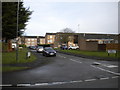
Stanton Road, Sydenham estate
Off Gainsborough Drive.
Image: © Richard Vince
Taken: 4 Mar 2017
0.04 miles

4
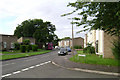
Gainsborough Drive, Sydenham, Leamington Spa
Gainsborough Drive is a loop off Sydenham Drive, forming the spine road of the estate. Seen here from the junction with Wentworth Road.
Image: © Robin Stott
Taken: 5 Aug 2009
0.05 miles
5
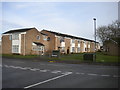
Bladon Walk, Sydenham estate
Off Gainsborough Drive.
Image: © Richard Vince
Taken: 4 Mar 2017
0.05 miles
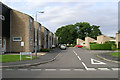
7
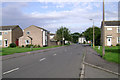
Gainsborough Drive (south), Sydenham, Leamington Spa
In the distance is a postbox, ID: CV31 98.
Image: © Robin Stott
Taken: 5 Aug 2009
0.07 miles
8
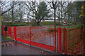
Sydenham Primary School
Bright red gates guard the entrance to this estate primary school, which currently has about 200 pupils.
Image: © Stephen McKay
Taken: 24 Nov 2012
0.07 miles
9
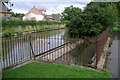
Canal weir, Sydenham, Leamington Spa
East of Bridge 36 on the Grand Union. The 8km of canal between Cape Bottom Lock in Warwick Image and Radford Bottom Lock Image is a 'sink' stretch with several weirs allowing overflow to watercourses. Here the water runs down to the Whitnash Brook, which is culverted under the canal and passes the Gulliman's Way development, left, before joining the River Leam.
Image: © Robin Stott
Taken: 5 Aug 2009
0.12 miles
10
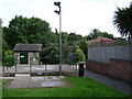
Sewage Pumping Station, Sydenham, Leamington Spa
To the rear of Vermont Grove and managed by Severn Trent Water.
Image: © Robin Stott
Taken: 5 Aug 2009
0.13 miles