
IMAGES TAKEN NEAR TO
Wavebeck Court, RUGBY, CV23 9SY
Introduction
This page details the photographs taken nearby to Wavebeck Court, CV23 9SY by members of the Geograph project.
The Geograph project started in 2005 with the aim of publishing, organising and preserving representative images for every square kilometre of Great Britain, Ireland and the Isle of Man.

There are currently over 7.5m images from over14,400 individuals and you can help contribute to the project by visiting https://www.geograph.org.uk
Image Map
Images are licensed for reuse under creativecommons.org/licenses/by-sa/2.0
Notes
- Clicking on the map will re-center to the selected point.
- The higher the marker number, the further away the image location is from the centre of the postcode.
Image Listing (7 Images Found)
Images are licensed for reuse under creativecommons.org/licenses/by-sa/2.0
Image
Details
Distance
1
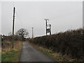
Long Lawford-Thurnmill Road
Transformer on the lane near Home Farm
Image: © Ian Rob
Taken: 27 Feb 2013
0.08 miles
2
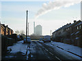
Elizabeth Way, Long Lawford
Rugby Cement Works looms over the houses on Elizabeth Way on a very cold morning.
Image: © Stephen McKay
Taken: 28 Nov 2010
0.14 miles
3
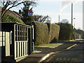
Townsend Lane, Long Lawford
This old fashioned bus shelter stands at the junction of Townsend Lane and Holbrook Road; in the distance is Rugby Cement Works. The strong sunshine belies the fact that the actual temperature was about -6.
Image: © Stephen McKay
Taken: 28 Nov 2010
0.16 miles
4
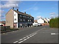
Long Lawford-Holbrook Road
Parade of Shops near the School.
Image: © Ian Rob
Taken: 30 Oct 2007
0.19 miles
5
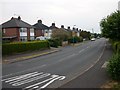
Long Lawford - Townsend Lane
Looking back towards the Village.
Image: © Ian Rob
Taken: 25 Jun 2006
0.20 miles
6
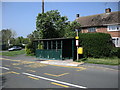
Long Lawford-Townsend Lane
Bus Stop for Rugby near the corner of Holbrook Road.
Image: © Ian Rob
Taken: 7 May 2008
0.20 miles
7
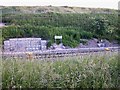
Long Lawford Junction
On the Rugby-Birmingham Line. The earth behind the fence at the top of the photo is spoil from Lodge Farm Quarry.
Image: © Ian Rob
Taken: 23 Jun 2009
0.24 miles