
IMAGES TAKEN NEAR TO
Montgomery Drive, RUGBY, CV22 7LA
Introduction
This page details the photographs taken nearby to Montgomery Drive, CV22 7LA by members of the Geograph project.
The Geograph project started in 2005 with the aim of publishing, organising and preserving representative images for every square kilometre of Great Britain, Ireland and the Isle of Man.

There are currently over 7.5m images from over14,400 individuals and you can help contribute to the project by visiting https://www.geograph.org.uk
Image Map
Images are licensed for reuse under creativecommons.org/licenses/by-sa/2.0
Notes
- Clicking on the map will re-center to the selected point.
- The higher the marker number, the further away the image location is from the centre of the postcode.
Image Listing (27 Images Found)
Images are licensed for reuse under creativecommons.org/licenses/by-sa/2.0
Image
Details
Distance
1
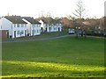
Rugby - Old Bilton
Houses on Nelson Way originally for employees of English Electric (Now Alstom) Owned at present by a housing association.
Image: © Ian Rob
Taken: 21 Jan 2006
0.04 miles
2
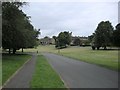
Old Bilton-Nelson Way
The open spaces of Nelson Way.
Image: © Ian Rob
Taken: 22 Jul 2008
0.06 miles
3
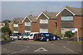
Lawford Lane, Bilton
Houses built facing a triangle at the junction of Lawford Lane and Frobisher Road.
Image: © Stephen McKay
Taken: 12 Oct 2008
0.08 miles
4
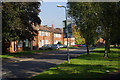
Nelson Way, Bilton
Housing association houses seen from the junction with Lawford Lane.
Image: © Stephen McKay
Taken: 12 Oct 2008
0.10 miles
5
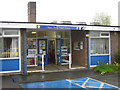
Henry Hinde Infant School on election day
Traditionally polling stations in British elections are set up in convenient public buildings - often schools, which is popular with the children because they get a day off. This is Henry Hinde Infant School on the morning of the May 2010 general election, shortly after opening at 7am, and it is raining.
Image: © Stephen McKay
Taken: 6 May 2010
0.10 miles
6
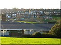
Bilton-Admiral's Estate
Looking from Carew Walk over Henry Hinde First School to Frobisher Road shops.
Image: © Ian Rob
Taken: 21 Jan 2006
0.10 miles
7
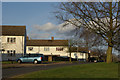
Nelson Way, Bilton
This is part of the Admirals Estate, where all the streets are named after admirals. The houses here are built at right angles to the road.
Image: © Stephen McKay
Taken: 1 Mar 2009
0.11 miles
8
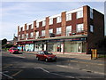
Old Bilton-Admirals Estate
The shops on Frobisher Road. The Estate expanded throughout the 1970-80s.
Image: © Ian Rob
Taken: 18 Oct 2007
0.12 miles
9
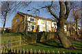
Carew Walk, Bilton
Road access to these houses is at the rear; the front faces on to a steep footpath connecting Grenville Close with Nelson Way. This is part of the Admirals Estate.
Image: © Stephen McKay
Taken: 1 Mar 2009
0.12 miles
10
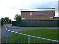
Bilton School-Lawford Lane
The entrance to this large Comprehensive School which is a Maths and Computing College.
Image: © Ian Rob
Taken: 11 May 2010
0.13 miles