
IMAGES TAKEN NEAR TO
The Oval, NUNEATON, CV13 0QD
Introduction
This page details the photographs taken nearby to The Oval, CV13 0QD by members of the Geograph project.
The Geograph project started in 2005 with the aim of publishing, organising and preserving representative images for every square kilometre of Great Britain, Ireland and the Isle of Man.

There are currently over 7.5m images from over14,400 individuals and you can help contribute to the project by visiting https://www.geograph.org.uk
Image Map
Images are licensed for reuse under creativecommons.org/licenses/by-sa/2.0
Notes
- Clicking on the map will re-center to the selected point.
- The higher the marker number, the further away the image location is from the centre of the postcode.
Image Listing (58 Images Found)
Images are licensed for reuse under creativecommons.org/licenses/by-sa/2.0
Image
Details
Distance
2
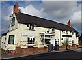
Nailstone-The Bulls Head
Closed and looking derelict.
Image: © Ian Rob
Taken: 4 Oct 2021
0.07 miles
6
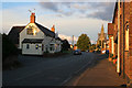
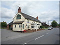
Main Street, Nailstone
The Bull Inn and All Saints Church
Nailstone is an old colliery village, now a quiet backwater. Unfortunately the County Council want to use the old colliery site for land fill and waste incineration. The church was closed as unsafe when this photograph was taken. It was undergoing major repair works.
Image: © Kate Jewell
Taken: 4 Oct 2006
0.08 miles
8
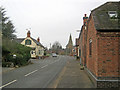
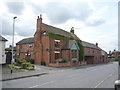
Main Street
Looking north-east with the Bulls Head pub on the left and the spire of All Saints Church in the background.
Image: © Trevor Rickard
Taken: 14 Nov 2010
0.09 miles
9

Vero's Lane. Nailstone
Off Ibstock Road (A447).
Image: © JThomas
Taken: 21 Jul 2016
0.10 miles
10
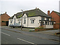
Old school building
Now a private house, but this was once a Public Elementary School (or National School). The square plaque in the left gable end reads "National School 1828" and the one in the right gable end reads "Infant School 1838". The building was funded by Earl Howe, lord of the manor of Nailstone.
Image: © Trevor Rickard
Taken: 14 Nov 2010
0.10 miles