IMAGES TAKEN NEAR TO
Moat Farm Drive, BEDWORTH, CV12 0LF
Introduction
This page details the photographs taken nearby to Moat Farm Drive, CV12 0LF by members of the Geograph project.
The Geograph project started in 2005 with the aim of publishing, organising and preserving representative images for every square kilometre of Great Britain, Ireland and the Isle of Man.

There are currently over 7.5m images from over14,400 individuals and you can help contribute to the project by visiting https://www.geograph.org.uk
Image Map
Images are licensed for reuse under creativecommons.org/licenses/by-sa/2.0
Notes
- Clicking on the map will re-center to the selected point.
- The higher the marker number, the further away the image location is from the centre of the postcode.
Image Listing (10 Images Found)
Images are licensed for reuse under creativecommons.org/licenses/by-sa/2.0
Image
Details
Distance
1
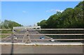
The M6, Goodyers End
From Goodyers End Lane.
Image: © David Howard
Taken: 21 May 2023
0.15 miles
2
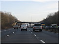
M6 Motorway - Road Overbridge At Goodyers End
Image: © Peter Whatley
Taken: 28 Dec 2009
0.15 miles
3
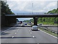
Northbound M6, Bridge at Goodyers End
Bridge taking Royal Oak Lane over the M6 motorway.
Image: © David Dixon
Taken: 5 Aug 2013
0.15 miles
4
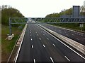
M6 motorway, looking west from Royal Oak Lane bridge, Ash Green
Photo taken on a Saturday evening during the first lockdown of the COVID-19 pandemic, just after 7pm on 18th April 2020.
Image: © A J Paxton
Taken: 18 Apr 2020
0.17 miles
5
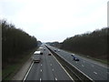
The M6 Motorway
Looking north west from the bridge on Royal Oak Lane.
Image: © JThomas
Taken: 11 Mar 2017
0.18 miles
6
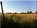
Field path, Goodyers End
The path runs from Hospital Lane to Cardigan Road in the suburbs of Bedworth.
Image: © A J Paxton
Taken: 17 Jul 2021
0.19 miles
7
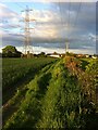
Field path from Hospital Lane to Goodyers End
The field path runs from Hospital Lane eastwards along the right hand side of a field to Mavor Drive in Goodyers End, a district of Bedworth, visible in the distance. Overhead power lines run to the left, roughly parallel to the path.
Image: © A J Paxton
Taken: 22 May 2021
0.20 miles
8
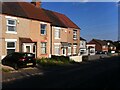
Royal Oak Lane, Ash Green, looking south towards the Royal Oak public house
The pub is the building with grey-painted rendering that is set back from the road, behind the houses in the foreground. In June 2021 it was still open, having survived the closures of the pandemic. It is one of two pubs in Ash Green; the other is the Bull & Anchor, on the south side of the settlement.
Image: © A J Paxton
Taken: 17 Jul 2021
0.22 miles
9
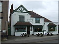
The Royal Oak public house
On Royal Oak Lane.
Image: © JThomas
Taken: 11 Mar 2017
0.23 miles