
IMAGES TAKEN NEAR TO
Black-A-Tree Road, NUNEATON, CV10 8AD
Introduction
This page details the photographs taken nearby to Black-A-Tree Road, CV10 8AD by members of the Geograph project.
The Geograph project started in 2005 with the aim of publishing, organising and preserving representative images for every square kilometre of Great Britain, Ireland and the Isle of Man.

There are currently over 7.5m images from over14,400 individuals and you can help contribute to the project by visiting https://www.geograph.org.uk
Image Map
Images are licensed for reuse under creativecommons.org/licenses/by-sa/2.0
Notes
- Clicking on the map will re-center to the selected point.
- The higher the marker number, the further away the image location is from the centre of the postcode.
Image Listing (32 Images Found)
Images are licensed for reuse under creativecommons.org/licenses/by-sa/2.0
Image
Details
Distance
1
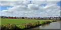
Canalside recreation ground in Nuneaton, Warwickshire
This shows the Coventry canal, looking north-west by Tomkinson Road Park. The housing is in Vernons Lane.
Image: © Roger Kidd
Taken: 22 Sep 2016
0.11 miles
2
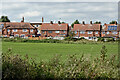
Housing and sports field in Nuneaton, Warwickshire
Seen from the Coventry Canal, looking north-west across Tomkinson Road Park. The housing is in Vernons Lane.
Image: © Roger Kidd
Taken: 22 Sep 2016
0.11 miles
3
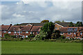
Housing near Camp Hill in Nuneaton, Warwickshire
This is a telephoto assisted image looking across Tomkinson Road Park from the canal near Wash Lane Bridge No 21. The houses are in Vernons Lane.
Image: © Roger Kidd
Taken: 25 Sep 2016
0.13 miles
4
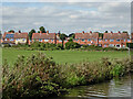
Housing and sports field in Nuneaton, Warwickshire
This shows the Coventry Canal, looking north-west by Tomkinson Road Park. The housing is in Vernons Lane.
Image: © Roger Kidd
Taken: 22 Sep 2016
0.13 miles
5
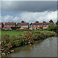
Park, canal and housing in Nuneaton, Warwickshire
Looking north-west across Tomkinson Road Park, towards housing in Vernons Lane. Coventry Canal.
Image: © Roger Kidd
Taken: 25 Sep 2016
0.16 miles
6
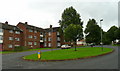
Vernon's Lane, Nuneaton
The island is at the centre of a housing estate based around a circular design named, unsurprisingly, The Circle.
Vernon's lane passes the blocks of flats in a west-south-westerly direction.
Image: © Jonathan Billinger
Taken: 4 Sep 2008
0.16 miles
7
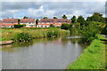
Coventry Canal passing recreation ground in Nuneaton
Image: © David Martin
Taken: 17 Jul 2016
0.18 miles
8
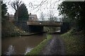
Coventry Canal at Vernons Lane Bridge, bridge 22
Image: © Ian S
Taken: 6 Jan 2022
0.18 miles
9
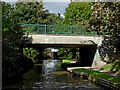
Vernons Lane Bridge in Nuneaton, Warwickshire
Vernons Lane Bridge is No 22 across the Coventry Canal. Before the farmland was covered in housing (mid 20th century) and the farm track widened to a road, this was the site of the original Dumble Hole Bridge.
Image: © Roger Kidd
Taken: 25 Sep 2016
0.18 miles
10
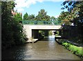
Coventry Canal: Bridge Number 22: Vernons Lane Bridge
The original bridge here was a farmers' bridge enabling access across the canal between the fields on either side. It went under the delightful name of Dumble Hole Bridge. However with the residential expansion of Nuneaton westwards the old bridge became a pinch point for traffic and was replaced by this practical if less inspiring concrete structure.
Image: © Nigel Cox
Taken: 11 Sep 2012
0.19 miles