
IMAGES TAKEN NEAR TO
Melly Close, NUNEATON, CV10 0GG
Introduction
This page details the photographs taken nearby to Melly Close, CV10 0GG by members of the Geograph project.
The Geograph project started in 2005 with the aim of publishing, organising and preserving representative images for every square kilometre of Great Britain, Ireland and the Isle of Man.

There are currently over 7.5m images from over14,400 individuals and you can help contribute to the project by visiting https://www.geograph.org.uk
Image Map
Images are licensed for reuse under creativecommons.org/licenses/by-sa/2.0
Notes
- Clicking on the map will re-center to the selected point.
- The higher the marker number, the further away the image location is from the centre of the postcode.
Image Listing (11 Images Found)
Images are licensed for reuse under creativecommons.org/licenses/by-sa/2.0
Image
Details
Distance
1
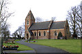
Weddington St. James
Nave, Chancel and Tower built in 1881
Image: © Beryl Allcoat
Taken: 22 Jan 2008
0.06 miles
2
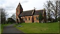
St James church Weddington
This delightful church building stands at the edge of Weddington village.
Image: © Peter Mackenzie
Taken: 21 Mar 2017
0.06 miles
3
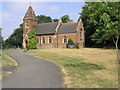
St James' Church
This brick built church in Weddington is dedicated to St James.
Image: © Michael Patterson
Taken: 21 Jul 2006
0.10 miles
4
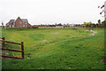
Drainage by Grove Fields
This looks a bit like a reservoir bed, but it is probably drainage for the benefit of the new estate to the left.
Image: © Bill Boaden
Taken: 14 Oct 2018
0.16 miles
5
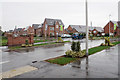
Entrance to St James' Gate
A new Barratt estate in Weddington.
Image: © Bill Boaden
Taken: 14 Oct 2018
0.19 miles
6
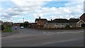
Bramdene Avenue
Bramdene Avenue is shown here at its junction with Weddington Road.
Image: © Peter Mackenzie
Taken: 21 Mar 2017
0.19 miles
7
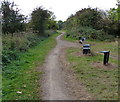
Weddington Country Walk towards Nuneaton
Image: © Mat Fascione
Taken: 28 Sep 2014
0.20 miles
8
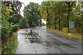
Weddington Road
A preserved leafy area now completely surrounded by new housing development.
Image: © Bill Boaden
Taken: 14 Oct 2018
0.21 miles
9
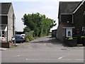
Bridleway Between the Houses
This bridleway leads to the nearby Top Farm.
Image: © Michael Patterson
Taken: 21 Jul 2006
0.21 miles
10
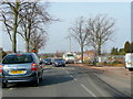
A444, Weddington
Some roadworks on the northern outskirts of Nuneaton.
Image: © Jonathan Billinger
Taken: 5 Mar 2010
0.23 miles