IMAGES TAKEN NEAR TO
Durban Road, MARGATE, CT9 2TE
Introduction
This page details the photographs taken nearby to Durban Road, CT9 2TE by members of the Geograph project.
The Geograph project started in 2005 with the aim of publishing, organising and preserving representative images for every square kilometre of Great Britain, Ireland and the Isle of Man.

There are currently over 7.5m images from over14,400 individuals and you can help contribute to the project by visiting https://www.geograph.org.uk
Image Map
Images are licensed for reuse under creativecommons.org/licenses/by-sa/2.0
Notes
- Clicking on the map will re-center to the selected point.
- The higher the marker number, the further away the image location is from the centre of the postcode.
Image Listing (34 Images Found)
Images are licensed for reuse under creativecommons.org/licenses/by-sa/2.0
Image
Details
Distance
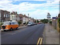
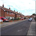
2

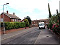
Houses on Durban Road
Also the local Scout, Guide and Beaver hut behind the fencing.
Image: © Nick Smith
Taken: 22 Mar 2008
0.04 miles
5
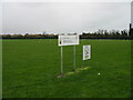
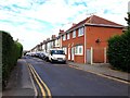
Drapers Mills Primary school playing fields
Image: © Nick Smith
Taken: 22 Mar 2008
0.09 miles
6
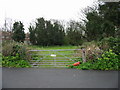
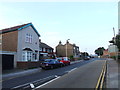
Gateway to a small paddock off St Peter's Footpath
Image: © Nick Smith
Taken: 22 Mar 2008
0.09 miles
7
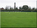
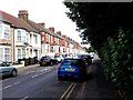
Gulls on playing field
Taken from St Peters Footpath
Image: © Nick Smith
Taken: 22 Mar 2008
0.09 miles