IMAGES TAKEN NEAR TO
Homestead Close, MARGATE, CT9 1TW
Introduction
This page details the photographs taken nearby to Homestead Close, CT9 1TW by members of the Geograph project.
The Geograph project started in 2005 with the aim of publishing, organising and preserving representative images for every square kilometre of Great Britain, Ireland and the Isle of Man.

There are currently over 7.5m images from over14,400 individuals and you can help contribute to the project by visiting https://www.geograph.org.uk
Image Map
Images are licensed for reuse under creativecommons.org/licenses/by-sa/2.0
Notes
- Clicking on the map will re-center to the selected point.
- The higher the marker number, the further away the image location is from the centre of the postcode.
Image Listing (61 Images Found)
Images are licensed for reuse under creativecommons.org/licenses/by-sa/2.0
Image
Details
Distance


8
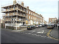
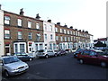
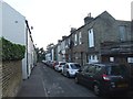
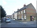
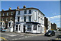
Looking north along Oxford Street
Number 21 (the house on the corner of St Peter’s Road) has had scaffolding erected on its side and frontage. It appears that renovation is being carried out.
Image: © John Baker
Taken: 13 Jan 2016
0.06 miles