IMAGES TAKEN NEAR TO
Joy Lane, WHITSTABLE, CT5 4DB
Introduction
This page details the photographs taken nearby to Joy Lane, CT5 4DB by members of the Geograph project.
The Geograph project started in 2005 with the aim of publishing, organising and preserving representative images for every square kilometre of Great Britain, Ireland and the Isle of Man.

There are currently over 7.5m images from over14,400 individuals and you can help contribute to the project by visiting https://www.geograph.org.uk
Image Map
Images are licensed for reuse under creativecommons.org/licenses/by-sa/2.0
Notes
- Clicking on the map will re-center to the selected point.
- The higher the marker number, the further away the image location is from the centre of the postcode.
Image Listing (51 Images Found)
Images are licensed for reuse under creativecommons.org/licenses/by-sa/2.0
Image
Details
Distance
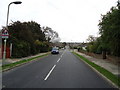
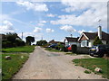
1
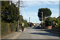
Cycling on Joy Lane, Seasalter
Heading towards the centre of Whitstable.
Image: © Robin Webster
Taken: 8 Feb 2018
0.02 miles
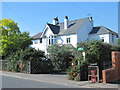
3
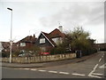
Joy Lane at the junction of Cundishall Close
Image: © David Howard
Taken: 19 Mar 2017
0.05 miles
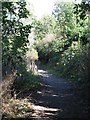
8
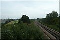
Railway from a bridge
Looking along the railway towards Whitstable Station.
Image: © DS Pugh
Taken: 14 Sep 2021
0.10 miles