IMAGES TAKEN NEAR TO
Canterbury Road, CANTERBURY, CT4 7DP
Introduction
This page details the photographs taken nearby to Canterbury Road, CT4 7DP by members of the Geograph project.
The Geograph project started in 2005 with the aim of publishing, organising and preserving representative images for every square kilometre of Great Britain, Ireland and the Isle of Man.

There are currently over 7.5m images from over14,400 individuals and you can help contribute to the project by visiting https://www.geograph.org.uk
Image Map
Images are licensed for reuse under creativecommons.org/licenses/by-sa/2.0
Notes
- Clicking on the map will re-center to the selected point.
- The higher the marker number, the further away the image location is from the centre of the postcode.
Image Listing (14 Images Found)
Images are licensed for reuse under creativecommons.org/licenses/by-sa/2.0
Image
Details
Distance
5
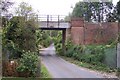
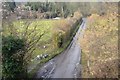
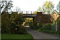
Railway bridge over Pope Street
Pope Street leads to the A28 Ashford Road. The railway heads right to Chilham, Chartham and Canterbury West, from Wye and Ashford.
Image: © David Anstiss
Taken: 13 Sep 2009
0.15 miles
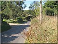
7
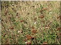
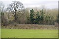
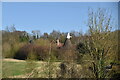
Wildflowers along Pope Street
Image: © Oast House Archive
Taken: 14 Oct 2011
0.17 miles
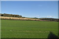
10
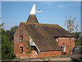
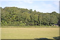
The Oast House, Pope Street, Godmersham
Image: © Oast House Archive
Taken: 14 Oct 2011
0.22 miles