IMAGES TAKEN NEAR TO
Hackington Road, CANTERBURY, CT2 9NG
Introduction
This page details the photographs taken nearby to Hackington Road, CT2 9NG by members of the Geograph project.
The Geograph project started in 2005 with the aim of publishing, organising and preserving representative images for every square kilometre of Great Britain, Ireland and the Isle of Man.

There are currently over 7.5m images from over14,400 individuals and you can help contribute to the project by visiting https://www.geograph.org.uk
Image Map
Images are licensed for reuse under creativecommons.org/licenses/by-sa/2.0
Notes
- Clicking on the map will re-center to the selected point.
- The higher the marker number, the further away the image location is from the centre of the postcode.
Image Listing (15 Images Found)
Images are licensed for reuse under creativecommons.org/licenses/by-sa/2.0
Image
Details
Distance
2
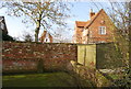
Frog Hall Oast, Hackington Road, Tyler Hill, Kent
Image: © Oast House Archive
Taken: 8 Apr 2011
0.03 miles
3
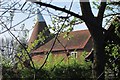
Frog Hall Oast, Hackington Road, Tyler Hill, Kent
Image: © Oast House Archive
Taken: 8 Apr 2011
0.03 miles
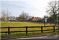
9
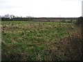
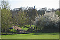
View across the field to the roof of Tyler Court
Image: © Nick Smith
Taken: 30 Mar 2008
0.15 miles
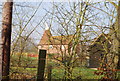
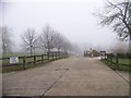
10
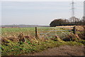
Gate into a potato field, Hackington Rd
Image: © N Chadwick
Taken: 31 Jan 2009
0.16 miles