IMAGES TAKEN NEAR TO
Alliance Road, RAMSGATE, CT11 8JB
Introduction
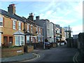
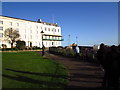
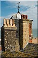
This page details the photographs taken nearby to Alliance Road, CT11 8JB by members of the Geograph project.
The Geograph project started in 2005 with the aim of publishing, organising and preserving representative images for every square kilometre of Great Britain, Ireland and the Isle of Man.

There are currently over 7.5m images from over14,400 individuals and you can help contribute to the project by visiting https://www.geograph.org.uk
Image Map
Images are licensed for reuse under creativecommons.org/licenses/by-sa/2.0
Notes
- Clicking on the map will re-center to the selected point.
- The higher the marker number, the further away the image location is from the centre of the postcode.
Image Listing (635 Images Found)
Images are licensed for reuse under creativecommons.org/licenses/by-sa/2.0
Image
Details
Distance
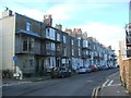
2
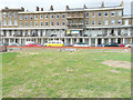
Wellington Terrace, Wellington Crescent
With the frontage of number 7 covered in scaffolding, it appears that the house is being renovated.
Image: © John Baker
Taken: 19 Aug 2018
0.03 miles