IMAGES TAKEN NEAR TO
Rosetower Court, BROADSTAIRS, CT10 3BG
Introduction
This page details the photographs taken nearby to Rosetower Court, CT10 3BG by members of the Geograph project.
The Geograph project started in 2005 with the aim of publishing, organising and preserving representative images for every square kilometre of Great Britain, Ireland and the Isle of Man.

There are currently over 7.5m images from over14,400 individuals and you can help contribute to the project by visiting https://www.geograph.org.uk
Image Map
Images are licensed for reuse under creativecommons.org/licenses/by-sa/2.0
Notes
- Clicking on the map will re-center to the selected point.
- The higher the marker number, the further away the image location is from the centre of the postcode.
Image Listing (40 Images Found)
Images are licensed for reuse under creativecommons.org/licenses/by-sa/2.0
Image
Details
Distance
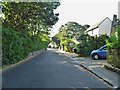
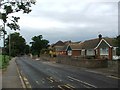
1
Lerryn Gardens, St Peter's
Houses built in late 1960s or early 1970s in Lerryn Close in St Peter's.
Image: © Philip Halling
Taken: 19 Jul 2009
0.05 miles
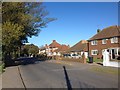
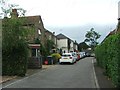
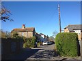
3
Convent Road, St Peter's
Convent Road goes down to Kingsgate Bay from St Peter's
Image: © Philip Halling
Taken: 19 Jul 2009
0.08 miles
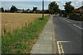
4
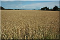
Wheat field in St Peter's
Field of wheat beside Convent Road in St Peter's, cabbages are often grown on this field.
Image: © Philip Halling
Taken: 19 Jul 2009
0.11 miles
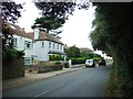
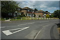
9
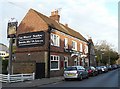
The White Swan, Reading Street
The board above the door says "Rebuilt A.D.1913".
Image: © Rose and Trev Clough
Taken: 16 Oct 2009
0.16 miles