IMAGES TAKEN NEAR TO
Marshall Crescent, BROADSTAIRS, CT10 2HS
Introduction
This page details the photographs taken nearby to Marshall Crescent, CT10 2HS by members of the Geograph project.
The Geograph project started in 2005 with the aim of publishing, organising and preserving representative images for every square kilometre of Great Britain, Ireland and the Isle of Man.

There are currently over 7.5m images from over14,400 individuals and you can help contribute to the project by visiting https://www.geograph.org.uk
Image Map
Images are licensed for reuse under creativecommons.org/licenses/by-sa/2.0
Notes
- Clicking on the map will re-center to the selected point.
- The higher the marker number, the further away the image location is from the centre of the postcode.
Image Listing (17 Images Found)
Images are licensed for reuse under creativecommons.org/licenses/by-sa/2.0
Image
Details
Distance

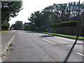
7
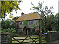
Upton Manor Cottage
Beside Upton Grange (road).
Image: © David Anstiss
Taken: 8 May 2011
0.12 miles
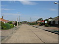
8
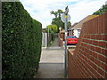
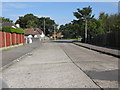
Footpath crosses Gloucester Avenue
A long straight footpath leads from Dumpton towards Broadstairs. From Bromstone Road, across this road and towards Vale Road heading for Broadstairs Road.
Image: © David Anstiss
Taken: 8 May 2011
0.12 miles