
IMAGES TAKEN NEAR TO
Markville Gardens, CATERHAM, CR3 6RG
Introduction
This page details the photographs taken nearby to Markville Gardens, CR3 6RG by members of the Geograph project.
The Geograph project started in 2005 with the aim of publishing, organising and preserving representative images for every square kilometre of Great Britain, Ireland and the Isle of Man.

There are currently over 7.5m images from over14,400 individuals and you can help contribute to the project by visiting https://www.geograph.org.uk
Image Map
Images are licensed for reuse under creativecommons.org/licenses/by-sa/2.0
Notes
- Clicking on the map will re-center to the selected point.
- The higher the marker number, the further away the image location is from the centre of the postcode.
Image Listing (16 Images Found)
Images are licensed for reuse under creativecommons.org/licenses/by-sa/2.0
Image
Details
Distance
1
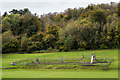
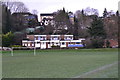
Valley Sports Ground
Sports ground and play area off White Knobs Way.
Image: © Ian Capper
Taken: 12 Oct 2018
0.06 miles
2
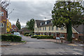
Park View
Housing off White Knobs Way, completed in 2005.
Image: © Ian Capper
Taken: 12 Oct 2018
0.08 miles
3
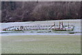
Frosty playground
The play area is deep in the shadow of the hill at White Knobs Park.
Image: © David Martin
Taken: 14 Dec 2014
0.09 miles
4
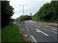
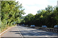
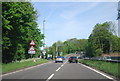
A22 Caterham Bypass junction with B2030 Godstone Road
Image: © Philip Talmage
Taken: 27 Aug 2005
0.10 miles
5
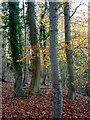
Autumn woodland
On a steep east facing hillside near Caterham, called "Eight Acre Wood" on "Streetmap".
Image: © Andrew Hill
Taken: 17 Nov 2009
0.11 miles
9
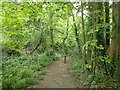
Path through woodland in Caterham
This is beyond St Katharine's Road where the path meets an active timber-felling area and turns to avoid it, passing through this woodland.
Image: © Marathon
Taken: 4 May 2023
0.15 miles
10
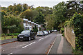
Greenwood Gardens
1960s cul-de-sac off Godstone Road.
Image: © Ian Capper
Taken: 12 Oct 2018
0.16 miles