IMAGES TAKEN NEAR TO
Tendring Road, CLACTON-ON-SEA, CO16 0AA
Introduction
This page details the photographs taken nearby to Tendring Road, CO16 0AA by members of the Geograph project.
The Geograph project started in 2005 with the aim of publishing, organising and preserving representative images for every square kilometre of Great Britain, Ireland and the Isle of Man.

There are currently over 7.5m images from over14,400 individuals and you can help contribute to the project by visiting https://www.geograph.org.uk
Image Map (Loading...)


Getting Data...Please wait
Leaflet Map data © OpenStreetMap
Images are licensed for reuse under creativecommons.org/licenses/by-sa/2.0
Notes
- Clicking on the map will re-center to the selected point.
- The higher the marker number, the further away the image location is from the centre of the postcode.
Image Listing (11 Images Found)
Images are licensed for reuse under creativecommons.org/licenses/by-sa/2.0
Image
Details
Distance

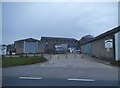
3
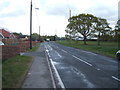
Tendring Road, Thorpe Green
B1035 looking south east.
Image: © JThomas
Taken: 26 Apr 2017
0.05 miles
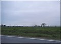
4
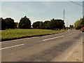
Thorpe Green, Essex
Thorpe Green lies north-west of Thorpe-le-Soken. The road in the picture is the B1035.
Image: © Robert Edwards
Taken: 3 Jul 2006
0.07 miles
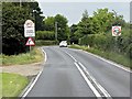
5
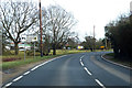
B1033 Colchester Road, Thorpe Green
Approaching the B1035 junction.
Image: © Robin Webster
Taken: 9 Feb 2019
0.10 miles
6
Tendring Road at the junction of Colchester Road
Image: © David Howard
Taken: 4 Apr 2017
0.12 miles
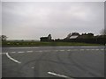
10
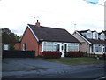
Bungalow on Colchester Road (B1033), Thorpe Green
Image: © JThomas
Taken: 26 Apr 2017
0.21 miles