IMAGES TAKEN NEAR TO
Barberry Path, DUNMOW, CM6 1GJ
Introduction
This page details the photographs taken nearby to Barberry Path, CM6 1GJ by members of the Geograph project.
The Geograph project started in 2005 with the aim of publishing, organising and preserving representative images for every square kilometre of Great Britain, Ireland and the Isle of Man.

There are currently over 7.5m images from over14,400 individuals and you can help contribute to the project by visiting https://www.geograph.org.uk
Image Map
Images are licensed for reuse under creativecommons.org/licenses/by-sa/2.0
Notes
- Clicking on the map will re-center to the selected point.
- The higher the marker number, the further away the image location is from the centre of the postcode.
Image Listing (12 Images Found)
Images are licensed for reuse under creativecommons.org/licenses/by-sa/2.0
Image
Details
Distance
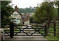
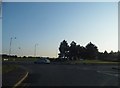
4
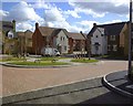
Cypress Court, Woodlands Park, Great Dunmow
Image: © Oxymoron
Taken: 12 Mar 2001
0.09 miles
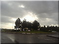
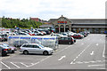
8
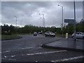
Roundabout on Stortford Road and Woodside Way
Turn right to get to Tesco, the sign is on the right.
Image: © David Howard
Taken: 25 Apr 2012
0.18 miles