IMAGES TAKEN NEAR TO
Bridge Wick Lane, SOUTHMINSTER, CM0 7JG
Introduction
This page details the photographs taken nearby to Bridge Wick Lane, CM0 7JG by members of the Geograph project.
The Geograph project started in 2005 with the aim of publishing, organising and preserving representative images for every square kilometre of Great Britain, Ireland and the Isle of Man.

There are currently over 7.5m images from over14,400 individuals and you can help contribute to the project by visiting https://www.geograph.org.uk
Image Map (Loading...)


Getting Data...Please wait
Leaflet Map data © OpenStreetMap
Images are licensed for reuse under creativecommons.org/licenses/by-sa/2.0
Notes
- Clicking on the map will re-center to the selected point.
- The higher the marker number, the further away the image location is from the centre of the postcode.
Image Listing (13 Images Found)
Images are licensed for reuse under creativecommons.org/licenses/by-sa/2.0
Image
Details
Distance
1
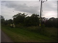
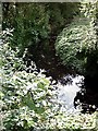
Trees by Brook farm on Bridgewick Road
Image: © David Howard
Taken: 26 Jun 2012
0.02 miles
3
Bridgewick Road by Brook farm
There is a very nice collection of red hot pokers growing along the road in the garden, you can just see them on the left.
Image: © David Howard
Taken: 26 Jun 2012
0.05 miles
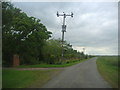
4
Yard by Brook farm
Dengie Marsh is beyond and around.
Image: © David Howard
Taken: 26 Jun 2012
0.06 miles
6
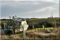
Dengie: Boat with no water at Brook Farm
Image: © Michael Garlick
Taken: 1 Nov 2022
0.11 miles
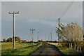
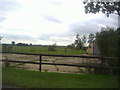
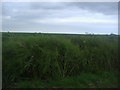
8
Dengie Marsh along Bridgewick Road
Although called a marsh officially all I have seen from the public roads is now farmland, as most has now been drained for agriculture. But without those drains they would indeed all still be marshes.
Image: © David Howard
Taken: 26 Jun 2012
0.20 miles
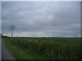
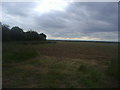
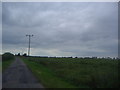
10
Dengie Marsh from Bridgewick Road
From my previous material these appear to be oilseed rape after the flowering phase.
Image: © David Howard
Taken: 26 Jun 2012
0.21 miles