IMAGES TAKEN NEAR TO
Llanerch-y-Mor, HOLYWELL, CH8 9DP
Introduction
This page details the photographs taken nearby to CH8 9DP by members of the Geograph project.
The Geograph project started in 2005 with the aim of publishing, organising and preserving representative images for every square kilometre of Great Britain, Ireland and the Isle of Man.

There are currently over 7.5m images from over14,400 individuals and you can help contribute to the project by visiting https://www.geograph.org.uk
Image Map
Images are licensed for reuse under creativecommons.org/licenses/by-sa/2.0
Notes
- Clicking on the map will re-center to the selected point.
- The higher the marker number, the further away the image location is from the centre of the postcode.
Image Listing (17 Images Found)
Images are licensed for reuse under creativecommons.org/licenses/by-sa/2.0
Image
Details
Distance
4
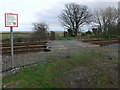
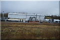
Footpath crossing the Chester-Holyhead railway line
Image: © Eirian Evans
Taken: 26 Jan 2008
0.12 miles
5
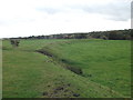
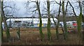
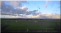
Old sea wall
The present outer bank was begun in the early 1900's, this old bank curves across The Marsh towards the level crossing over the Chester to Holyhead railway. Image]
Image: © John Haynes
Taken: 16 Oct 2012
0.14 miles
6
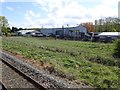
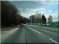
View from a Chester-Holyhead train - industrial works
Image: © Nigel Thompson
Taken: 2 May 2018
0.15 miles
10
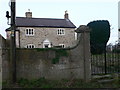
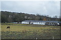
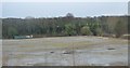
Isglan Farm
An old farmhouse, obviously very important at one time in the past as it gave its name to the township in which it stood.
Image: © Eirian Evans
Taken: 26 Jan 2008
0.22 miles