IMAGES TAKEN NEAR TO
Ffordd Las, MOLD, CH7 4DX
Introduction
This page details the photographs taken nearby to Ffordd Las, CH7 4DX by members of the Geograph project.
The Geograph project started in 2005 with the aim of publishing, organising and preserving representative images for every square kilometre of Great Britain, Ireland and the Isle of Man.

There are currently over 7.5m images from over14,400 individuals and you can help contribute to the project by visiting https://www.geograph.org.uk
Image Map
Images are licensed for reuse under creativecommons.org/licenses/by-sa/2.0
Notes
- Clicking on the map will re-center to the selected point.
- The higher the marker number, the further away the image location is from the centre of the postcode.
Image Listing (24 Images Found)
Images are licensed for reuse under creativecommons.org/licenses/by-sa/2.0
Image
Details
Distance
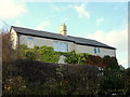
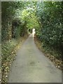
1
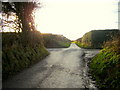
Junction of Ffordd Las and Ffordd y Fron, near Nercwys
Image: © Aaron Thomas
Taken: 28 Dec 2006
0.07 miles
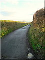
2
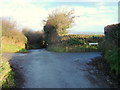
Junction of Ffordd Las and Ffordd y Fron, near Nercwys
Image: © Aaron Thomas
Taken: 28 Dec 2006
0.07 miles
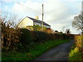
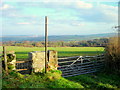
6
View to the Alyn Valley from the Owain Glyndwr Inn
View from Image
Image: © Eirian Evans
Taken: 18 Jul 2017
0.11 miles
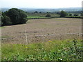
8
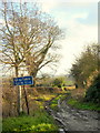
Green lane off Ffordd y Fron, Nercwys
You wouldn't think the sign was necessary...
Image: © Aaron Thomas
Taken: 28 Dec 2006
0.18 miles