
IMAGES TAKEN NEAR TO
Nercwys Mountain, MOLD, CH7 4BW
Introduction
This page details the photographs taken nearby to Nercwys Mountain, CH7 4BW by members of the Geograph project.
The Geograph project started in 2005 with the aim of publishing, organising and preserving representative images for every square kilometre of Great Britain, Ireland and the Isle of Man.

There are currently over 7.5m images from over14,400 individuals and you can help contribute to the project by visiting https://www.geograph.org.uk
Image Map
Images are licensed for reuse under creativecommons.org/licenses/by-sa/2.0
Notes
- Clicking on the map will re-center to the selected point.
- The higher the marker number, the further away the image location is from the centre of the postcode.
Image Listing (6 Images Found)
Images are licensed for reuse under creativecommons.org/licenses/by-sa/2.0
Image
Details
Distance
1
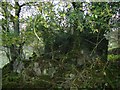
Ruined cottage
The remains of a ruined one up, one down cottage. Probably a miner's cottage from the last century.
Image: © Aaron Thomas
Taken: 30 Oct 2006
0.10 miles
2
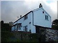
Bryn Seion
Bryn Seion, country cottage on the edge of SJ2157
Image: © Aaron Thomas
Taken: 30 Oct 2006
0.11 miles
3
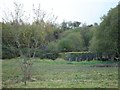
Industrial remnants
Unknown buildings and structures. Likely to relate to mining industry in the 19th century.
Image: © Aaron Thomas
Taken: 30 Oct 2006
0.11 miles
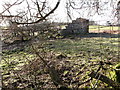
5
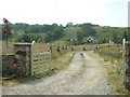
Pant Isaf
This appears to be a large modern house, rather than a farm.
Image: © David Medcalf
Taken: 3 Jul 2006
0.15 miles
6
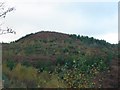
Distinctive Moel
This distinctive Moel (round-topped bare hill) stands at 349 metres high.
Image: © Aaron Thomas
Taken: 30 Oct 2006
0.25 miles