
IMAGES TAKEN NEAR TO
Parc Hendy, MOLD, CH7 1TH
Introduction
This page details the photographs taken nearby to Parc Hendy, CH7 1TH by members of the Geograph project.
The Geograph project started in 2005 with the aim of publishing, organising and preserving representative images for every square kilometre of Great Britain, Ireland and the Isle of Man.

There are currently over 7.5m images from over14,400 individuals and you can help contribute to the project by visiting https://www.geograph.org.uk
Image Map
Images are licensed for reuse under creativecommons.org/licenses/by-sa/2.0
Notes
- Clicking on the map will re-center to the selected point.
- The higher the marker number, the further away the image location is from the centre of the postcode.
Image Listing (10 Images Found)
Images are licensed for reuse under creativecommons.org/licenses/by-sa/2.0
Image
Details
Distance
1

Ordnance Survey Cut Mark
This OS cut mark can be found on Coleshill, Clayton Road. It marks a point 123.105m above mean sea level.
Image: © Adrian Dust
Taken: 10 Nov 2025
0.04 miles
2

Ordnance Survey Rivet
This OS rivet can be found on the culvert on Clayton Road. It marks a point 114.263m above mean sea level.
Image: © Adrian Dust
Taken: 10 Nov 2025
0.09 miles
3

Ordnance Survey Cut Mark
This OS cut mark can be found on the wall of No77 Hendy Road. It marks a point 136.627m above mean sea level.
Image: © Adrian Dust
Taken: 10 Nov 2025
0.16 miles
4

Ordnance Survey Cut Mark
This OS cut mark can be found on the wall NE side of Hendy Road. It marks a point 121.868m above mean sea level.
Image: © Adrian Dust
Taken: 10 Nov 2025
0.20 miles
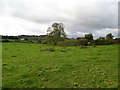
6
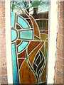
Stained glass window in youth centre in Mold
Image: © Aaron Thomas
Taken: 2 Dec 2006
0.23 miles
7
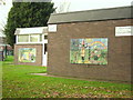
Mural on youth centre in Mold - Spring and Summer
Image: © Aaron Thomas
Taken: 2 Dec 2006
0.23 miles
8
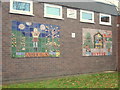
Mural on youth centre in Mold - Autumn and Winter
Image: © Aaron Thomas
Taken: 2 Dec 2006
0.23 miles
9
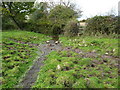
Stream by a stile
On a footpath in a grazing field heading west from Mold
Image: © Maggie Cox
Taken: 10 Nov 2013
0.24 miles
10

Ordnance Survey Cut Mark
This OS cut mark can be found on No20 Nant Garmon. It marks a point 111.825m above mean sea level.
Image: © Adrian Dust
Taken: 10 Nov 2025
0.24 miles