
IMAGES TAKEN NEAR TO
Llys Mawes, FLINT, CH6 5FJ
Introduction
This page details the photographs taken nearby to Llys Mawes, CH6 5FJ by members of the Geograph project.
The Geograph project started in 2005 with the aim of publishing, organising and preserving representative images for every square kilometre of Great Britain, Ireland and the Isle of Man.

There are currently over 7.5m images from over14,400 individuals and you can help contribute to the project by visiting https://www.geograph.org.uk
Image Map
Images are licensed for reuse under creativecommons.org/licenses/by-sa/2.0
Notes
- Clicking on the map will re-center to the selected point.
- The higher the marker number, the further away the image location is from the centre of the postcode.
Image Listing (7 Images Found)
Images are licensed for reuse under creativecommons.org/licenses/by-sa/2.0
Image
Details
Distance
1
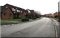
Caesar Avenue, Flint
Looking to the SSW along Caesar Avenue past the corner of Mill Croft.
Image: © Jaggery
Taken: 16 Jan 2017
0.17 miles
2
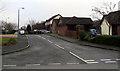
Mill Croft, Flint
Cul-de-sac on the southeast side of Caesar Avenue.
Image: © Jaggery
Taken: 16 Jan 2017
0.20 miles
3
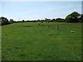
Cattle grazing on the edge of town
One of the last grass fields on the east of Y Fflint.
Image: © John Haynes
Taken: 22 May 2012
0.23 miles
4
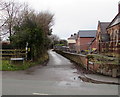
Croes Atti Lane, Oakenholt
Dead-end lane viewed across the A458 Chester Road.
Image: © Jaggery
Taken: 16 Jan 2017
0.23 miles
5
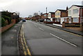
Caesar Avenue, Flint
From the corner of Chester Road.
Image: © Jaggery
Taken: 16 Jan 2017
0.23 miles
6
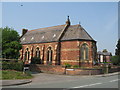
St. David's, Oakenholt
The church of St. David, Oakenholt, was opened in 1872.
Image: © Sue Adair
Taken: 8 May 2008
0.24 miles
7
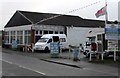
Coast Caravan & Camper Sales, Oakenholt
The business alongside the A548 Chester Road buys and sells old or new caravans, camper vans and motor homes.
Image: © Jaggery
Taken: 16 Jan 2017
0.25 miles