
IMAGES TAKEN NEAR TO
Frobisher Road, NESTON, CH64 9SY
Introduction
This page details the photographs taken nearby to Frobisher Road, CH64 9SY by members of the Geograph project.
The Geograph project started in 2005 with the aim of publishing, organising and preserving representative images for every square kilometre of Great Britain, Ireland and the Isle of Man.

There are currently over 7.5m images from over14,400 individuals and you can help contribute to the project by visiting https://www.geograph.org.uk
Image Map
Images are licensed for reuse under creativecommons.org/licenses/by-sa/2.0
Notes
- Clicking on the map will re-center to the selected point.
- The higher the marker number, the further away the image location is from the centre of the postcode.
Image Listing (104 Images Found)
Images are licensed for reuse under creativecommons.org/licenses/by-sa/2.0
Image
Details
Distance
1
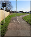
Footpath and cycle route, Neston
Heading SE away from Liverpool Road.
Image: © Jaggery
Taken: 15 Feb 2018
0.05 miles
2
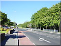
Liverpool Road, Neston
Liverpool Road looking in the direction of Chester High Road.
Image: © Sue Adair
Taken: 3 Jun 2006
0.07 miles
3
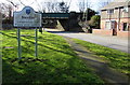
Neston conservation area - please drive carefully
The County of Cheshire sign is on the grass alongside the B5136 Liverpool Road
Image: © Jaggery
Taken: 15 Feb 2018
0.07 miles
4
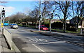
Liverpool Road pelican crossing, Neston
Chambers Dictionary states that pelican in this context is adapted from "pedestrian light controlled crossing".
Image: © Jaggery
Taken: 15 Feb 2018
0.07 miles
5
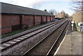
Borderlands Line north of Neston station
Viewed from the northern end of Neston station. The next station ahead
is Heswall http://www.geograph.org.uk/photo/534921 on the route to the Borderlands Line northern terminus at Bidston.
The side of an Aldi supermarket is on the left.
Image: © Jaggery
Taken: 15 Feb 2018
0.08 miles
6
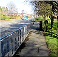
Liverpool Road telecoms cabinets, Neston
Alongside the B5136 Liverpool Road.
Image: © Jaggery
Taken: 15 Feb 2018
0.08 miles
7
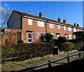
Jonson Road houses, Neston
Houses at the northern end of Jonson Road, viewed from the edge of the B5136 Liverpool Road. This is the "famous Englishmen" area of Neston - Shakespeare Road, Drake Road and Raleigh Road are nearby.
Image: © Jaggery
Taken: 15 Feb 2018
0.08 miles
8
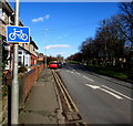
Cycle route sign, Liverpool Road, Neston
At the edge of Ivy Cottages, the sign is on the lamppost on the left here. https://www.geograph.org.uk/photo/5731154
Image: © Jaggery
Taken: 15 Feb 2018
0.08 miles
9
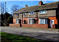
Ivy Cottages, Liverpool Road, Neston
A plaque on the wall shows IVY COTTAGES 1899.
Image: © Jaggery
Taken: 15 Feb 2018
0.09 miles
10
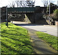
East side of Liverpool Road railway bridge, Neston
The bridge carries the Borderlands Line railway over the B5136 Liverpool Road. Headroom shown is 13' 9".
Image: © Jaggery
Taken: 15 Feb 2018
0.09 miles