
IMAGES TAKEN NEAR TO
Rough Hill, CHESTER, CH4 9JS
Introduction
This page details the photographs taken nearby to Rough Hill, CH4 9JS by members of the Geograph project.
The Geograph project started in 2005 with the aim of publishing, organising and preserving representative images for every square kilometre of Great Britain, Ireland and the Isle of Man.

There are currently over 7.5m images from over14,400 individuals and you can help contribute to the project by visiting https://www.geograph.org.uk
Image Map
Images are licensed for reuse under creativecommons.org/licenses/by-sa/2.0
Notes
- Clicking on the map will re-center to the selected point.
- The higher the marker number, the further away the image location is from the centre of the postcode.
Image Listing (9 Images Found)
Images are licensed for reuse under creativecommons.org/licenses/by-sa/2.0
Image
Details
Distance
1
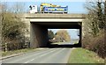
A55 North Wales Expressway over Lache Lane
Lache Lane as it passes under the A55 North Wales Expressway.
Image: © Jeff Buck
Taken: 5 Mar 2013
0.14 miles
2
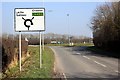
Roughhill Roundabout
Roughhill roundabout on Lache Lane.
Image: © Jeff Buck
Taken: 5 Mar 2013
0.14 miles
3

Chester Southerly Caravan Park
A very popular year-round caravan park to the south of Chester
Image: © Eirian Evans
Taken: 14 Feb 2019
0.17 miles

5
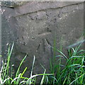
Bench mark on Balderton Bridge, Lache Lane
This bench mark is near the south east corner of the bridge that carries Lache Lane over Balderton Brook. See also Image
Benchmark Database: https://www.bench-marks.org.uk/bm53759
Image: © John S Turner
Taken: 5 Jun 2007
0.18 miles
6
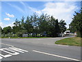
Caravan park at Rough Hill
A view looking north across the lane to Balderton, towards the entrance to the caravan and camping site at Rough Hill. A large contingent of Dutch caravans had just arrived and the gates are being closed to further arrivals.
Image: © Phil Williams
Taken: 11 Aug 2006
0.18 miles
7
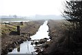
Brook next to Roughhill Effluent Treatment Works
Taken from Balderton Bridge.
Image: © Jeff Buck
Taken: 5 Mar 2013
0.19 miles
8
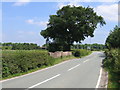
Lache Lane and Balderton Bridge
Looking along Lache Lane over the historic sandstone Balderton Bridge over Balderton Brook. There is an Ordnance Survey bench mark on the right hand parapet (south east corner) of the bridge, which is in shadow - see Image The raised embankment, behind and to the left of the bridge carries the A55 Chester bypass.
Image: © John S Turner
Taken: 5 Jun 2007
0.19 miles
9
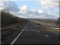
A55 slip road panorama
The view from the westbound entry slip road at the A483 intersection. Welsh hills rise in the distance.
Image: © Peter Whatley
Taken: 18 Jan 2011
0.23 miles