IMAGES TAKEN NEAR TO
Baytree Road, WIRRAL, CH48 1PR
Introduction
This page details the photographs taken nearby to Baytree Road, CH48 1PR by members of the Geograph project.
The Geograph project started in 2005 with the aim of publishing, organising and preserving representative images for every square kilometre of Great Britain, Ireland and the Isle of Man.

There are currently over 7.5m images from over14,400 individuals and you can help contribute to the project by visiting https://www.geograph.org.uk
Image Map
Images are licensed for reuse under creativecommons.org/licenses/by-sa/2.0
Notes
- Clicking on the map will re-center to the selected point.
- The higher the marker number, the further away the image location is from the centre of the postcode.
Image Listing (8 Images Found)
Images are licensed for reuse under creativecommons.org/licenses/by-sa/2.0
Image
Details
Distance
1

Old Direction Sign - Signpost by the B5139, Frankby Road
Pawn finial - 1 arm; Wirral Footpath post by the B5139, in parish of Hoylake (Wirral District), South side of Frankby Road, opposite junction with Frankby Stiles.
The octagonal post is inscribed:-
ERECTED BY THE WIRRAL FOOTPATHS ETC SOCIETY WITH CONSENT OF THE COUNTY COUNCIL
The plate is inscribed:-
WIRRAL FOOTPATHS ETC SOCIETY
PUBLIC FOOTPATH TO
THURSTASTON
PLEASE KEEP TO PATH
Surveyed
Milestone Society National ID: CH_SJ2486A
Image: © John S Turner
Taken: 19 Sep 2016
0.12 miles
2
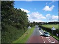
Frankby boundary sign on Frankby Road
Image: © Raymond Knapman
Taken: 30 Aug 2012
0.14 miles

4
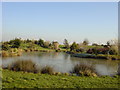
Man-made fishing pond, Larton
This is one of a number of purpose built landscaped fishing ponds situated between Frankby and Newton at Larton.
Image: © Sue Adair
Taken: 29 Jan 2006
0.19 miles
5
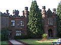
Frankby Hall cemetery
May seem a strange subject to photograph, but Frankby Cemetery is a beautiful place, with a wildflower section and a duckpond.
Image: © Peter Craine
Taken: 7 Jun 2006
0.21 miles
6
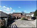
Former farm buildings at Birch Hey Farm
Former early 18th century farm buildings at Birch Hey Farm, converted to desirable residential properties in the 1980's.
Image: © Sue Adair
Taken: 6 Apr 2021
0.21 miles
7
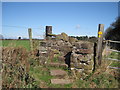
Sandstone Stile
A sandstone stile on the footpath from Grange Cross Lane to Birch Heys.
Image: © Sue Adair
Taken: 4 Apr 2010
0.23 miles