
IMAGES TAKEN NEAR TO
The Nook, WIRRAL, CH48 1PH
Introduction
This page details the photographs taken nearby to The Nook, CH48 1PH by members of the Geograph project.
The Geograph project started in 2005 with the aim of publishing, organising and preserving representative images for every square kilometre of Great Britain, Ireland and the Isle of Man.

There are currently over 7.5m images from over14,400 individuals and you can help contribute to the project by visiting https://www.geograph.org.uk
Image Map
Images are licensed for reuse under creativecommons.org/licenses/by-sa/2.0
Notes
- Clicking on the map will re-center to the selected point.
- The higher the marker number, the further away the image location is from the centre of the postcode.
Image Listing (22 Images Found)
Images are licensed for reuse under creativecommons.org/licenses/by-sa/2.0
Image
Details
Distance
1
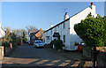
Frankby Hamlet
The continuation of The Nook which is apparently haunted!
Image: © J Scott
Taken: 13 Feb 2008
0.01 miles
2
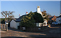
The Nook
Frankby hamlet along the B5139 Frankby Road.
Image: © J Scott
Taken: 13 Feb 2008
0.01 miles
3
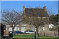
Old Post Office, The Nook, Frankby
The Nook in Frankby is a very compact area. The house dates from 1730. This is possibly North Wirral's most visible example of the quintessential "Ye Olde Village".
Image: © El Pollock
Taken: 25 Mar 2012
0.03 miles
4
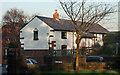
Corner House
Refurbish house at junction of Hill Bark Road and Frankby Road.
Image: © J Scott
Taken: 13 Feb 2008
0.03 miles
5
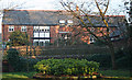
Opposite the cemetery
Houses opposite the entrance to Frankby Cemetery.
Image: © J Scott
Taken: 13 Feb 2008
0.04 miles
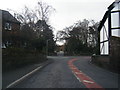
7
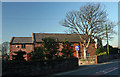
On The Market
Convert barn up for sale along Frankby Road.
Image: © J Scott
Taken: 13 Feb 2008
0.07 miles
8
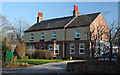
Guest House
Bed and breakfast available at Peel House Frankby.
Image: © J Scott
Taken: 13 Feb 2008
0.11 miles
10
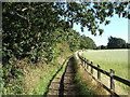
Public footpath from Frankby Road to Montgomery Hill
The footpath runs between the B5139 and B5140. The picture was taken about 50 metres from the Frankby Road looking towards the south-east. The trees on the left border the cemetery.
Image: © Peter Miller
Taken: 29 Aug 2005
0.15 miles