
IMAGES TAKEN NEAR TO
Handbridge, CHESTER, CH4 7JB
Introduction
This page details the photographs taken nearby to CH4 7JB by members of the Geograph project.
The Geograph project started in 2005 with the aim of publishing, organising and preserving representative images for every square kilometre of Great Britain, Ireland and the Isle of Man.

There are currently over 7.5m images from over14,400 individuals and you can help contribute to the project by visiting https://www.geograph.org.uk
Image Map
Images are licensed for reuse under creativecommons.org/licenses/by-sa/2.0
Notes
- Clicking on the map will re-center to the selected point.
- The higher the marker number, the further away the image location is from the centre of the postcode.
Image Listing (1236 Images Found)
Images are licensed for reuse under creativecommons.org/licenses/by-sa/2.0
Image
Details
Distance
1
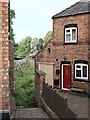
St John's View, Handbridge, Chester
Overgrown public access to the river bank on the southern side of the Dee opposite Mill Street. The name of this access point suggests that a glimpse of St John's Church in the city may be possible from here.
Image: © David Hallam-Jones
Taken: 30 Aug 2018
0.00 miles
4
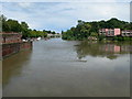
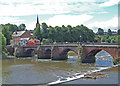
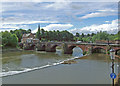
River Dee at Chester
The weir by handbridge is hardly to be seen when the tide is in.
Image: © Eirian Evans
Taken: 6 Jul 2008
0.01 miles
7
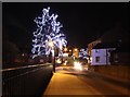
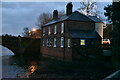
Handbridge Christmas Lights
Handbridge Christmas lights taken from the Old Dee Bridge.
Image: © Jeff Buck
Taken: 17 Dec 2013
0.01 miles
9
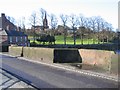
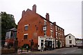
The Old Dee Bridge and the view to Edgar's Field
The view from the centre of the Old Dee Bridge towards Edgar's Field park in Handbridge. Bridge Cottages are on the left, and an O.S. benchmark can be seen on the right of the photo, just above the road surface.
Image: © John S Turner
Taken: 30 Mar 2008
0.02 miles
10
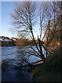
Storm damaged tree by the Old Dee Bridge, Handbridge
Recent gales have broken the main trunk of this riverside tree. The River Dee and the weir can be seen in the background.
Image: © John S Turner
Taken: 30 Jan 2024
0.02 miles