
IMAGES TAKEN NEAR TO
Bush Road, CHESTER, CH3 7BW
Introduction
This page details the photographs taken nearby to Bush Road, CH3 7BW by members of the Geograph project.
The Geograph project started in 2005 with the aim of publishing, organising and preserving representative images for every square kilometre of Great Britain, Ireland and the Isle of Man.

There are currently over 7.5m images from over14,400 individuals and you can help contribute to the project by visiting https://www.geograph.org.uk
Image Map
Images are licensed for reuse under creativecommons.org/licenses/by-sa/2.0
Notes
- Clicking on the map will re-center to the selected point.
- The higher the marker number, the further away the image location is from the centre of the postcode.
Image Listing (67 Images Found)
Images are licensed for reuse under creativecommons.org/licenses/by-sa/2.0
Image
Details
Distance
1
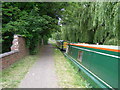
Towpath, part of the 13mile Baker Way footpath
This image is looking northwest along the Shropshire Union Canal towpath, adjacent to the Cheshire Cat pub in Christleton.
Baker Way: A 21km/13 mile route linking Chester with Delamere Forest Park. The Baker Way follows a mix of canal towpaths, quiet roads, field paths and forest tracks. The route starts and finishes at railway stations so you can leave the car at home.
Image: © Brian Green
Taken: 12 Jun 2007
0.07 miles
2
Access road to Cheshire Cat inn
A small estate along the access road from the A41
Image: © David Smith
Taken: 29 Apr 2024
0.07 miles
3
Boundary Beacon ?
Thought to be a sewage vent pipe, this structure lies on the western boundary of the grid square.
Image: © Dennis Turner
Taken: 15 Apr 2006
0.08 miles
4
Whitchurch Road
Standing on the old south west boundary of Chester city, this structure is believed to be a vent pipe for the sewage system. Whitchurch Road is part of the A41 route and leads to the Shropshire town of Whitchurch, twenty miles south.
Image: © Dennis Turner
Taken: 15 Apr 2006
0.08 miles
5
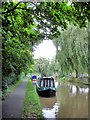
Christleton - Shropshire Union Canal
Christleton - Baker Way and towpath of the Shropshire Union Canal.
Image: © Mike Harris
Taken: 25 Aug 2008
0.09 miles
6
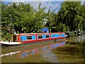
Summer on the Shropshire Union Canal
Well the rain had stopped for a while.
Image: © Steve Fareham
Taken: 12 Aug 2010
0.09 miles
7
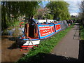
Working Narrow Boat Hadar moored outside the Cheshire Cat.
Working Narrow Boat Hadar moored outside the Cheshire Cat, Christleton, April 2012.
Image: © Keith Lodge
Taken: 12 Apr 2012
0.12 miles
9
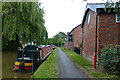
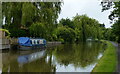
Cheshire Cat public house
Along the towpath of the Shropshire Union Canal at Christleton.
Image: © Mat Fascione
Taken: 6 Jul 2019
0.12 miles
10
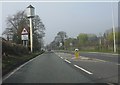
Curious mast on Whitchurch Road
Just north of the entrance to The Cheshire Cat pub.
Image: © Peter Whatley
Taken: 23 Mar 2012
0.12 miles