
IMAGES TAKEN NEAR TO
William Wild Drive, CHESTER, CH1 6PP
Introduction
This page details the photographs taken nearby to William Wild Drive, CH1 6PP by members of the Geograph project.
The Geograph project started in 2005 with the aim of publishing, organising and preserving representative images for every square kilometre of Great Britain, Ireland and the Isle of Man.

There are currently over 7.5m images from over14,400 individuals and you can help contribute to the project by visiting https://www.geograph.org.uk
Image Map
Images are licensed for reuse under creativecommons.org/licenses/by-sa/2.0
Notes
- Clicking on the map will re-center to the selected point.
- The higher the marker number, the further away the image location is from the centre of the postcode.
Image Listing (19 Images Found)
Images are licensed for reuse under creativecommons.org/licenses/by-sa/2.0
Image
Details
Distance
1
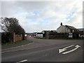
Entrance to Mollington Grange
Mollington Grange on the A540.
Image: © Jeff Buck
Taken: 30 Jan 2013
0.06 miles
3
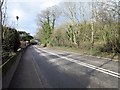
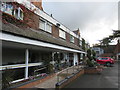
The A540 (Parkgate Road), Mollington
The A540 next to the Mollington Banastre Hotel and Spa.
Image: © Jeff Buck
Taken: 30 Jan 2013
0.08 miles
4
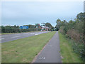
Mollington
A540 Hoylake to Chester road.
Image: © Dennis Turner
Taken: 15 Aug 2005
0.12 miles
5
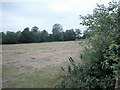
Hayfield Mollington
Although not visible on this picture, a fox was crossing the centre of the field on its evening patrol. Perhaps a "Spot the Fox" competition could be organised.
Image: © Dennis Turner
Taken: 15 Aug 2005
0.12 miles
6
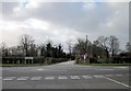
Entrance to Crabwall Manor Hotel, Mollington
The entrance to Crabwall Manor Hotel on the A540 at Mollington.
Image: © Jeff Buck
Taken: 30 Jan 2013
0.16 miles
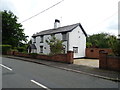
8
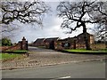
Entrance to The Oaks at Mollington
The Oaks at Mollington golf course on Townfield Lane.
Image: © Jeff Buck
Taken: 30 Jan 2013
0.19 miles
9
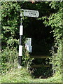
Signpost by the A540, Parkgate Road, Mollington
Pawn finial - 1 arm; Wirral Footpath Society post by the A540, in parish of Mollington, Cheshire, north east side of Parkgate Road, south east of Mollington Grange.
The octagonal post is inscribed:-
BY PERMISSION OF THE COUNCIL
The plate is inscribed:-
WIRRAL FOOTPATH ETC. SOCIETY
PUBLIC FOOTPATH TO
UPTON
PLEASE KEEP TO PATH
Grade II listed.
List Entry Number: 1262930 https://historicengland.org.uk/listing/the-list/list-entry/1262930?fbclid=IwAR1e3tzfsrMnmT8ImtUIZTOT9UzylaLWv4O7UYr8qr7fRhIw-RPJj2JMalY
Surveyed
Milestone Society National ID: CH_SJ3969
Image: © John S Turner
Taken: 25 Sep 2023
0.20 miles
10
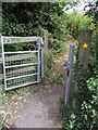
A540 Path
Footpath leading from the A540 (near Mollington Grange) to Knoll's Bridge over the Shropshire Union Canal.
Image: © J Scott
Taken: 2 Aug 2011
0.20 miles