
IMAGES TAKEN NEAR TO
Brook Street, CHESTER, CH1 3DT
Introduction
This page details the photographs taken nearby to Brook Street, CH1 3DT by members of the Geograph project.
The Geograph project started in 2005 with the aim of publishing, organising and preserving representative images for every square kilometre of Great Britain, Ireland and the Isle of Man.

There are currently over 7.5m images from over14,400 individuals and you can help contribute to the project by visiting https://www.geograph.org.uk
Image Map
Images are licensed for reuse under creativecommons.org/licenses/by-sa/2.0
Notes
- Clicking on the map will re-center to the selected point.
- The higher the marker number, the further away the image location is from the centre of the postcode.
Image Listing (917 Images Found)
Images are licensed for reuse under creativecommons.org/licenses/by-sa/2.0
Image
Details
Distance
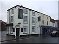
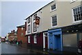
7
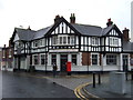
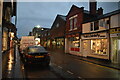
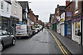
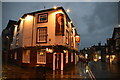
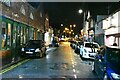
Funeral Directors on Brook Street, Chester
Showing position of Postbox No. CH1 14.
See Image] for postbox.
Image: © JThomas
Taken: 12 Nov 2016
0.03 miles
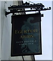
9
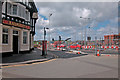
Railway Inn
Roadworks at the junction of Hoole Road with Black Diamond Street and Brook Street to re-model the junction to provide access to the former railway wagon repair works and coal depot for which planning permission has been granted to provide an office block and more than 100 dwellings.
Image: © Dennis Turner
Taken: 8 May 2005
0.03 miles
10
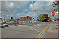
Brook Street
View in the north east corner of the grid square during roadworks.
Image: © Dennis Turner
Taken: 8 May 2005
0.03 miles