
IMAGES TAKEN NEAR TO
Legion Row, Navigation Street, CAERPHILLY, CF83 8JA
Introduction
This page details the photographs taken nearby to Legion Row, Navigation Street, CF83 8JA by members of the Geograph project.
The Geograph project started in 2005 with the aim of publishing, organising and preserving representative images for every square kilometre of Great Britain, Ireland and the Isle of Man.

There are currently over 7.5m images from over14,400 individuals and you can help contribute to the project by visiting https://www.geograph.org.uk
Image Map
Images are licensed for reuse under creativecommons.org/licenses/by-sa/2.0
Notes
- Clicking on the map will re-center to the selected point.
- The higher the marker number, the further away the image location is from the centre of the postcode.
Image Listing (164 Images Found)
Images are licensed for reuse under creativecommons.org/licenses/by-sa/2.0
Image
Details
Distance
1
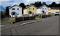
Detached houses, Navigation Street, Trethomas
Viewed in August 2018. The houses are on the site of the demolished
Trethomas branch of the Royal British Legion, seen here https://www.geograph.org.uk/photo/2769539 in 2011.
Image: © Jaggery
Taken: 10 Aug 2018
0.00 miles
2
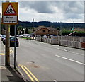
Warning sign - Patrol/Hebryngwr, Navigation Street, Trethomas
English/Welsh sign on the approach to the village primary school. https://www.geograph.org.uk/photo/5876641
Image: © Jaggery
Taken: 10 Aug 2018
0.01 miles
3
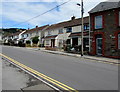
Navigation Street semis, Trethomas
Semi-detached houses on the east side of Navigation Street, north of this https://www.geograph.org.uk/photo/5949010 row of houses.
Image: © Jaggery
Taken: 10 Aug 2018
0.02 miles
4
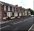
Row of houses on the south side of Standard Street, Trethomas
Extending for 50 metres from Coronation Street to Navigation Street.
Image: © Jaggery
Taken: 10 Aug 2018
0.02 miles
5
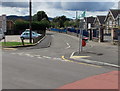
Junction of Heol-yr-ysgol and Navigation Street, Trethomas
Viewed from Navigation Street. Ty'n-Y-Wern Primary School https://www.geograph.org.uk/photo/5876641 is on the right.
Image: © Jaggery
Taken: 10 Aug 2018
0.03 miles
7
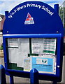
Ty'n-Y-Wern Primary School information board, Trethomas
On the right here. https://www.geograph.org.uk/photo/5876641
Image: © Jaggery
Taken: 10 Aug 2018
0.04 miles
8
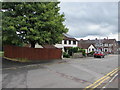
Tree and houses, Navigation Street, Trethomas
On the east side of Navigation Street on the approach to the Llanfabon Drive/Standard Street crossroads.
Image: © Jaggery
Taken: 10 Aug 2018
0.04 miles
9
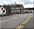
STOP sign on the approach to crossroads, Trethomas
Facing Navigation Street on the approach to the Llanfabon Drive/Standard Street crossroads.
Image: © Jaggery
Taken: 10 Aug 2018
0.04 miles
10
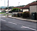
Standard Street telecoms cabinet, Trethomas
The dark green BT cabinet is near the western end of Standard Street.
Image: © Jaggery
Taken: 10 Aug 2018
0.04 miles