
IMAGES TAKEN NEAR TO
Heol-y-Bryn, BARGOED, CF81 9LN
Introduction
This page details the photographs taken nearby to Heol-y-Bryn, CF81 9LN by members of the Geograph project.
The Geograph project started in 2005 with the aim of publishing, organising and preserving representative images for every square kilometre of Great Britain, Ireland and the Isle of Man.

There are currently over 7.5m images from over14,400 individuals and you can help contribute to the project by visiting https://www.geograph.org.uk
Image Map
Images are licensed for reuse under creativecommons.org/licenses/by-sa/2.0
Notes
- Clicking on the map will re-center to the selected point.
- The higher the marker number, the further away the image location is from the centre of the postcode.
Image Listing (51 Images Found)
Images are licensed for reuse under creativecommons.org/licenses/by-sa/2.0
Image
Details
Distance
2
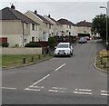
Heol-y-bryn houses, Fochriw
Viewed across Pontlottyn Road near the northern edge of the village.
Image: © Jaggery
Taken: 2 Aug 2018
0.05 miles
3
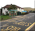
Bus stop and shelter at the northern edge of Fochriw
The Pontlottyn Road stop is for buses to Bargoed, in August 2018 part of Stagecoach Route 1 from Merthyr Tydfil.
Image: © Jaggery
Taken: 2 Aug 2018
0.08 miles
4
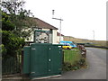
Roadside automatic weather station in the north of Fochriw
On the corner of Pontlottyn Road and Heol-y-bryn, behind the bus shelter here. https://www.geograph.org.uk/photo/5862410
Image: © Jaggery
Taken: 2 Aug 2018
0.08 miles
5
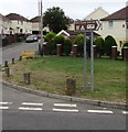
Parc Cwm Darran direction sign, Fochriw
On the corner of Pontlottyn Road and Heol-y-bryn.
Image: © Jaggery
Taken: 2 Aug 2018
0.08 miles
6
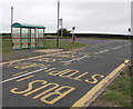
Crossroads bus stop and shelter, Pontlottyn Road, Fochriw
This stop at the northern edge of the village is for buses to Pontlottyn, Rhymney and Merthyr Tydfil.
Image: © Jaggery
Taken: 2 Aug 2018
0.09 miles
7
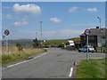
Road junction at the edge of Fochriw
This is the view from the Image
Image: © Robin Drayton
Taken: 22 Aug 2007
0.09 miles
8
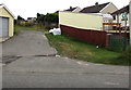
Public footpath sign at the eastern edge of Fochriw
The sign on the right is alongside Fochriw Road. The Fochriw boundary sign https://www.geograph.org.uk/photo/5862427 is near the camera.
Image: © Jaggery
Taken: 2 Aug 2018
0.09 miles
9
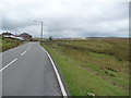
Road approaching Fochriw from Pontlottyn and Rhymney
Imagine living up here in winter.
Image: © Jeremy Bolwell
Taken: 16 Sep 2012
0.09 miles
10
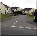
Junction of Pontlottyn Road and Heol-y-bryn, Fochriw
One of two junctions of these roads in Fochriw. The other one is 250 metres to the north. https://www.geograph.org.uk/photo/5862400
Image: © Jaggery
Taken: 2 Aug 2018
0.09 miles