
IMAGES TAKEN NEAR TO
Cae Gwyn, PENARTH, CF64 3JY
Introduction
This page details the photographs taken nearby to Cae Gwyn, CF64 3JY by members of the Geograph project.
The Geograph project started in 2005 with the aim of publishing, organising and preserving representative images for every square kilometre of Great Britain, Ireland and the Isle of Man.

There are currently over 7.5m images from over14,400 individuals and you can help contribute to the project by visiting https://www.geograph.org.uk
Image Map
Images are licensed for reuse under creativecommons.org/licenses/by-sa/2.0
Notes
- Clicking on the map will re-center to the selected point.
- The higher the marker number, the further away the image location is from the centre of the postcode.
Image Listing (42 Images Found)
Images are licensed for reuse under creativecommons.org/licenses/by-sa/2.0
Image
Details
Distance
1
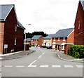
D?l Gwartheg, Lower Penarth
On the north side of Heol y Brenin. Dôl Gwartheg is Welsh for cattle meadow.
Image: © Jaggery
Taken: 5 Aug 2016
0.04 miles
2
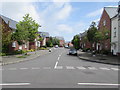
Heol y Brenin, Lower Penarth
Eastwards along Heol y Brenin from Rhos Ddu.
Image: © Jaggery
Taken: 5 Aug 2016
0.06 miles
3
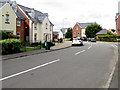
Heol y Brenin, Lower Penarth
From near the corner of Dinas Road, looking northwest past the right turn into Tal y Bryn. http://www.geograph.org.uk/photo/5062594
Street names in this recently-built part of Lower Penarth are in Welsh only.
Heol y Brenin is Welsh for King's Road.
Image: © Jaggery
Taken: 5 Aug 2016
0.06 miles
4
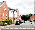
Tal y Bryn, Lower Penarth
Cul-de-sac on the east side of Heol y Brenin.
Image: © Jaggery
Taken: 5 Aug 2016
0.06 miles
5
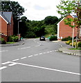
Northern end of Rhos Ddu, Lower Penarth
From the corner of Heol y Brenin.
Image: © Jaggery
Taken: 5 Aug 2016
0.07 miles
6
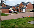
Tŷ Uchaf houses, Lower Penarth
Viewed from Heol y Brenin. Tŷ Uchaf is a cul-de-sac on the south side of Tal y Bryn.
Image: © Jaggery
Taken: 5 Aug 2016
0.07 miles
7
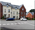
Cars and houses, Rhos Ddu, Lower Penarth
Viewed from the corner of Heol y Brenin.
Image: © Jaggery
Taken: 5 Aug 2016
0.08 miles
8
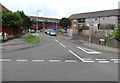
St Luke's Avenue, Penarth
On the north side of Dinas Road.
Image: © Jaggery
Taken: 5 Aug 2016
0.10 miles
9
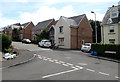
Cwrt Tŷ Mawr, Lower Penarth
Cul-de-sac viewed from the corner of Rhos Ddu.
Image: © Jaggery
Taken: 5 Aug 2016
0.10 miles
10
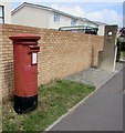
Queen Elizabeth II pillarbox, Dinas Road, Penarth
Located here. http://www.geograph.org.uk/photo/5062547
Image: © Jaggery
Taken: 5 Aug 2016
0.10 miles