
IMAGES TAKEN NEAR TO
Dylan Close, PENARTH, CF64 2PA
Introduction
This page details the photographs taken nearby to Dylan Close, CF64 2PA by members of the Geograph project.
The Geograph project started in 2005 with the aim of publishing, organising and preserving representative images for every square kilometre of Great Britain, Ireland and the Isle of Man.

There are currently over 7.5m images from over14,400 individuals and you can help contribute to the project by visiting https://www.geograph.org.uk
Image Map
Images are licensed for reuse under creativecommons.org/licenses/by-sa/2.0
Notes
- Clicking on the map will re-center to the selected point.
- The higher the marker number, the further away the image location is from the centre of the postcode.
Image Listing (35 Images Found)
Images are licensed for reuse under creativecommons.org/licenses/by-sa/2.0
Image
Details
Distance
1
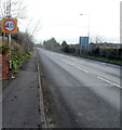
The A4055 Barry Road heads away from Llandough
Viewed from the edge of The Merrie Harrier. http://www.geograph.org.uk/photo/3325462
Image: © Jaggery
Taken: 9 Dec 2012
0.06 miles
2
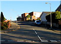
Dochdwy Road, Llandough
Dochdwy Road ascends away from the east side of the B4267 Penlan Road.
Image: © Jaggery
Taken: 25 Nov 2016
0.06 miles
3
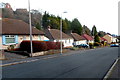
Andrew Road bungalows, Cogan
A view east past bungalows looking towards 2-storey houses.
Image: © Jaggery
Taken: 9 Dec 2012
0.08 miles
4
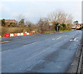
Penlan Road, Llandough
Penlan Road climbs away from the Barry Road junction.
Image: © Jaggery
Taken: 9 Dec 2012
0.08 miles
5
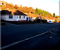
Andrew Road bungalows, Penarth
This part of Andrew Road is between the A4055 Barry Road to the north and the Vale of Glamorgan Line railway to the south.
Image: © Jaggery
Taken: 25 Nov 2016
0.09 miles
7
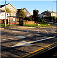
White arrows and a bus shelter, Penlan Road, Llandough
The bus shelter is about midway between the Penlan Rise junction and the Dochdwy Road junction.
Image: © Jaggery
Taken: 25 Nov 2016
0.10 miles
8
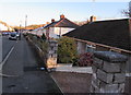
Change of house type, Andrew Road, Penarth
Bungalows are near and behind the camera, two-storey houses are ahead.
Image: © Jaggery
Taken: 25 Nov 2016
0.10 miles
9
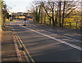
Down Penlan Road, Llandough
The B4267 Penlan Road descends away from Llandough Hospital. http://www.geograph.org.uk/photo/5205710
The first left turn ahead is into Penlan Rise. http://www.geograph.org.uk/photo/5205712
Image: © Jaggery
Taken: 25 Nov 2016
0.11 miles
10
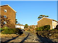
Penlan Rise, Llandough
Cul-de-sac ascending from the B4267 Penlan Road.
Image: © Jaggery
Taken: 25 Nov 2016
0.12 miles