
IMAGES TAKEN NEAR TO
Cawnpore Street, PENARTH, CF64 2JU
Introduction
This page details the photographs taken nearby to Cawnpore Street, CF64 2JU by members of the Geograph project.
The Geograph project started in 2005 with the aim of publishing, organising and preserving representative images for every square kilometre of Great Britain, Ireland and the Isle of Man.

There are currently over 7.5m images from over14,400 individuals and you can help contribute to the project by visiting https://www.geograph.org.uk
Image Map
Images are licensed for reuse under creativecommons.org/licenses/by-sa/2.0
Notes
- Clicking on the map will re-center to the selected point.
- The higher the marker number, the further away the image location is from the centre of the postcode.
Image Listing (41 Images Found)
Images are licensed for reuse under creativecommons.org/licenses/by-sa/2.0
Image
Details
Distance
1
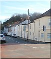
Harriet Street, Cogan
Houses on the west side of Harriet Street, viewed from the corner of Pill Street.
Image: © Jaggery
Taken: 24 Nov 2010
0.08 miles
2
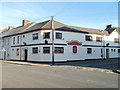
Cogan Coronation Club, Penarth
The club and institute is located on the northern corner of Pill Street and Hewell Street, opposite The Cogan. http://www.geograph.org.uk/photo/2184923 It is the headquarters of Cogan Coronation AFC (Association Football Club). Founded in 1960, the club play their home matches at the nearby Cogan Recreation Ground.
Image: © Jaggery
Taken: 24 Nov 2010
0.09 miles
3
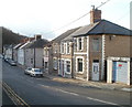
Bridge Street, Penarth
The NW side of the street, viewed from the Windsor Road end.
Image: © Jaggery
Taken: 24 Nov 2010
0.14 miles
4
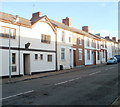
Hewell Street, Cogan
Houses on the north side of Hewell Street, viewed from the corner of Pill Street.
Part of Cogan Coronation Club http://www.geograph.org.uk/photo/2185194 is on the left.
Image: © Jaggery
Taken: 24 Nov 2010
0.15 miles
5
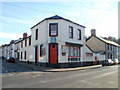
The Cogan pub to let, Cogan, Penarth
Located on the corner of Pill Street and Hewell Street. The To Let sign on the building is for Admiral Taverns, an independent tenanted and leased pub company, which suggests that the pub is to let as a going concern.
Image: © Jaggery
Taken: 24 Nov 2010
0.15 miles
6
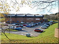
Penarth Leisure Centre
Located on the south side of Andrew Road, Cogan.
Facilities include swimming pool and slide, squash courts, LifeStyle Health and Fitness Studio, changing area and showers, creche and play centre.
Image: © Jaggery
Taken: 24 Nov 2010
0.16 miles
7
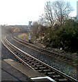
Sharp curve near southern end of Cogan railway station
Viewed from the edge of the platform used by trains heading for Barry Island. The next station in this direction is Eastbrook. http://www.geograph.org.uk/photo/1919923
Image: © Jaggery
Taken: 24 Nov 2010
0.16 miles
8
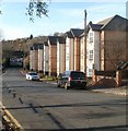
Parkview Court, Andrew Road, Cogan
Parkview Court contains 20 flats, located near the eastern end of the road.
Andrew Road continues beyond the railway bridge ahead, and ends at the A4055.
Image: © Jaggery
Taken: 24 Nov 2010
0.16 miles
9
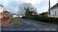
Cornerswell Place, Penarth
Viewed from the corner of Wordsworth Avenue looking past the Shakespeare Avenue intersection toward houses on a bend in Masefield Road.
Image: © Jaggery
Taken: 9 Dec 2012
0.16 miles
10
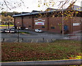
East side of Penarth Leisure Centre
Viewed from Andrew Road.
Image: © Jaggery
Taken: 25 Nov 2016
0.17 miles