
IMAGES TAKEN NEAR TO
Bank Terrace, MERTHYR TYDFIL, CF48 2PS
Introduction
This page details the photographs taken nearby to Bank Terrace, CF48 2PS by members of the Geograph project.
The Geograph project started in 2005 with the aim of publishing, organising and preserving representative images for every square kilometre of Great Britain, Ireland and the Isle of Man.

There are currently over 7.5m images from over14,400 individuals and you can help contribute to the project by visiting https://www.geograph.org.uk
Image Map
Images are licensed for reuse under creativecommons.org/licenses/by-sa/2.0
Notes
- Clicking on the map will re-center to the selected point.
- The higher the marker number, the further away the image location is from the centre of the postcode.
Image Listing (114 Images Found)
Images are licensed for reuse under creativecommons.org/licenses/by-sa/2.0
Image
Details
Distance
1
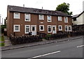
Bank Terrace, Cefn-coed-y-cymmer
A separately named and numbered part of High Street.
Image: © Jaggery
Taken: 16 Jun 2014
0.01 miles
3
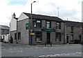
The Lord Raglan, Cefn-coed-y-cymmer
Pub on the corner of High Street and Old Chapel Road.
Image: © Jaggery
Taken: 16 Jun 2014
0.03 miles
4
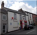
Newsagents & general store in Cefn-coed-y-cymmer
Viewed across the A4054 High Street.
Image: © Jaggery
Taken: 16 Jun 2014
0.03 miles
5
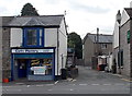
Cefn Pantry, Cefn-coed-y-cymmer
Food takeaway on the corner of High Street and Old Chapel Road. The Lord Raglan http://www.geograph.org.uk/photo/4029690 is on the right.
Image: © Jaggery
Taken: 16 Jun 2014
0.04 miles
6
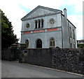
Hen Dy Cwrdd Unitarian Chapel, Cefn-coed-y-cymmer
Viewed across Old Chapel Road. Inscriptions on the wall above the doorway show
BUILT 1747, REBUILT 1853, 1895, 1991.
Image: © Jaggery
Taken: 16 Jun 2014
0.04 miles
7
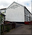
Monumental display of the Monumental Terrace name, Cefn-coed-y-cymmer
Late Victorian (1896) terrace on the north side of High Street.
Image: © Jaggery
Taken: 16 Jun 2014
0.04 miles
8
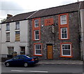
Mango House, Cefn-coed-y-cymmer
Indian cuisine restaurant at 91 High Street. The year stone shows W.G. 1826.
Image: © Jaggery
Taken: 16 Jun 2014
0.04 miles
9

Woodland Garage, Cefn-coed-y-cymmer
Vehicle repair centre in the Triangle, on the south side of High Street.
Image: © Jaggery
Taken: 16 Jun 2014
0.05 miles
10
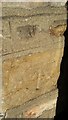
Ordnance Survey Cut Mark
This OS cut mark can be found on No135 High Street. It marks a point 217.874m above mean sea level.
Image: © Adrian Dust
Taken: 5 Nov 2017
0.06 miles