1
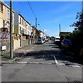
East along Evans Terrace, Clydach Vale
Viewed from the corner of Cross Street.
Image: © Jaggery
Taken: 5 Oct 2017
0.02 miles
2
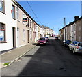
Brynhyfryd Street, Clydach Vale
Dead-end street viewed from Cross Street.
Image: © Jaggery
Taken: 5 Oct 2017
0.02 miles
3
Monolingual sign on a Clydach Vale corner
In October 2017, the School warning sign on the corner of Cross Street and Evans Terrace
has not yet been replaced by the Ysgol/School or School/Ysgol sign usually seen in Wales.
Cwm Clydach Primary School http://www.geograph.org.uk/photo/5560154 is nearby.
Image: © Jaggery
Taken: 5 Oct 2017
0.02 miles
4
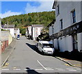
East along Brynhyfryd Street, Clydach Vale
From Cross Street.
Image: © Jaggery
Taken: 5 Oct 2017
0.03 miles
5
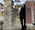
Steps up to Evans Terrace, Blaenclydach
From the north side of Clydach Road, Clydach Vale.
Image: © Jaggery
Taken: 5 Oct 2017
0.03 miles
6
Cross Street, Clydach Vale
Ascending from the north side of Clydach Road. The derelict former Bush Inn http://www.geograph.org.uk/photo/5560286 is on the right.
Image: © Jaggery
Taken: 5 Oct 2017
0.03 miles
7
Former Libanus Methodist Chapel, Clydach Road, Clydach Vale
Dated 1890, the building is now in secular use. A preschool playgroup banner is on the wall in October 2017.
Image: © Jaggery
Taken: 5 Oct 2017
0.03 miles
8
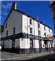
The Bush
Public House on Clydach Road, now closed. Sold in 2010 for £78,000 when it was in slightly better decorative order.
http://www.auction.co.uk/commercial/LotDetails.asp?A=652&MP=84&ID=652000135
Image: © Alan Hughes
Taken: 11 Apr 2019
0.04 miles
9
Derelict former Bush Inn, Clydach Vale
On the corner of Clydach Road and Cross Street viewed in October 2017.
Image: © Jaggery
Taken: 5 Oct 2017
0.04 miles
10
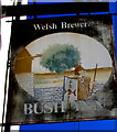
Faded Bush Inn name sign, Clydach Vale
On the right here. http://www.geograph.org.uk/photo/5560286
Image: © Jaggery
Taken: 5 Oct 2017
0.04 miles


